Medium airport · United States

New Braunfels National AirportKBAZ
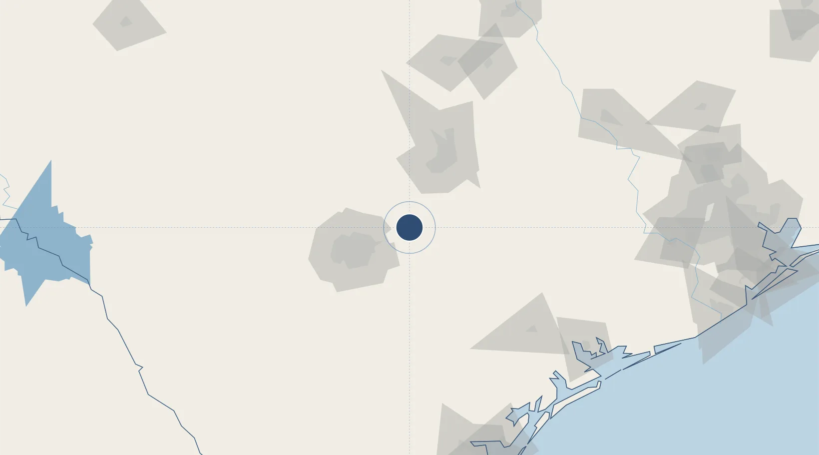
29.7045°, -98.0422°
6,503 ft
Longest runway
2
Runways
651 ft
Elevation

Runway & Layout

New Braunfels National Airport runway & taxiway layout
Runway & taxiway layout — OpenStreetMap (ODbL) / OurAirports

Radio Frequencies

ASOS
119.325 MHz
CLD
134.75 MHz
CLNC DEL
APP
124.45 MHz
SAN ANTONIO APP
DEP
125.7 MHz
SAN ANTONIO DEP
UNIC
122.7 MHz
CTAF/UNICOM
OurAirports

Runways · 2

RunwayDimensions SurfaceTrue headingLit
13/31 6,503 × 100ft Asphalt 136°
17/35 5,364 × 100ft Asphalt 181°
OurAirports

Airport Specifications

ICAO code
KBAZ
OurAirports
Airport class
Medium airport
OurAirports
Scheduled service
No
OurAirports
Runway surface
Asphalt
OurAirports
Served city
New Braunfels
OurAirports

Location

Location of KBAZ
Natural Earth 10m (public domain) · Texas · KBAZ · 29.70, -98.04GoogleOSMYandex

Nearby Logistics Neighbours

Airports
  1. 1San Marcos Regional Airport27 km
  2. 2Randolph Air Force Base30 km
  3. 3San Antonio International Airport46 km
  4. 4Stinson Municipal Airport58 km
  5. 5Lackland Air Force Base63 km
Nearest neighbours — logibook spatial index (haversine) over the source coordinates
Cities
  1. 1Cibolo24 km
  2. 2Canyon Lake27 km
  3. 3Schertz28 km
  4. 4Wimberley33 km
  5. 5Kyle35 km
Nearest neighbours — logibook spatial index (haversine) over the source coordinates
Ports
  1. 1Port Lavaca184 km
  2. 2Palacios211 km
  3. 3Rockport211 km
  4. 4Corpus Christi219 km
  5. 5Port Ingleside226 km
Nearest neighbours — logibook spatial index (haversine) over the source coordinates
Trade Zones
  1. 1FTZ No. 183 Austin69 km
  2. 2FTZ No. 080 San Antonio77 km
  3. 3FTZ No. 246 Waco219 km
  4. 4FTZ No. 122 Corpus Christi220 km
  5. 5FTZ No. 096 Eagle Pass264 km
Nearest neighbours — logibook spatial index (haversine) over the source coordinates
DatabookThe Record of Consolidated Knowledge
United States beyond logistics?
Browse databook

All Sources

AirportsOurAirports
Public domain
Portsthe NGA World Port Index
Public domain (US gov)
LocationsUN/LOCODE
UN/LOCODE — free
Trade Zonesthe World Bank SEZ database
CC BY 4.0
Trade ZonesOpen Zone Map
CC BY
InfrastructureOpenStreetMap
ODbL 1.0
← United States airports