Foreign Trade Zone · United States

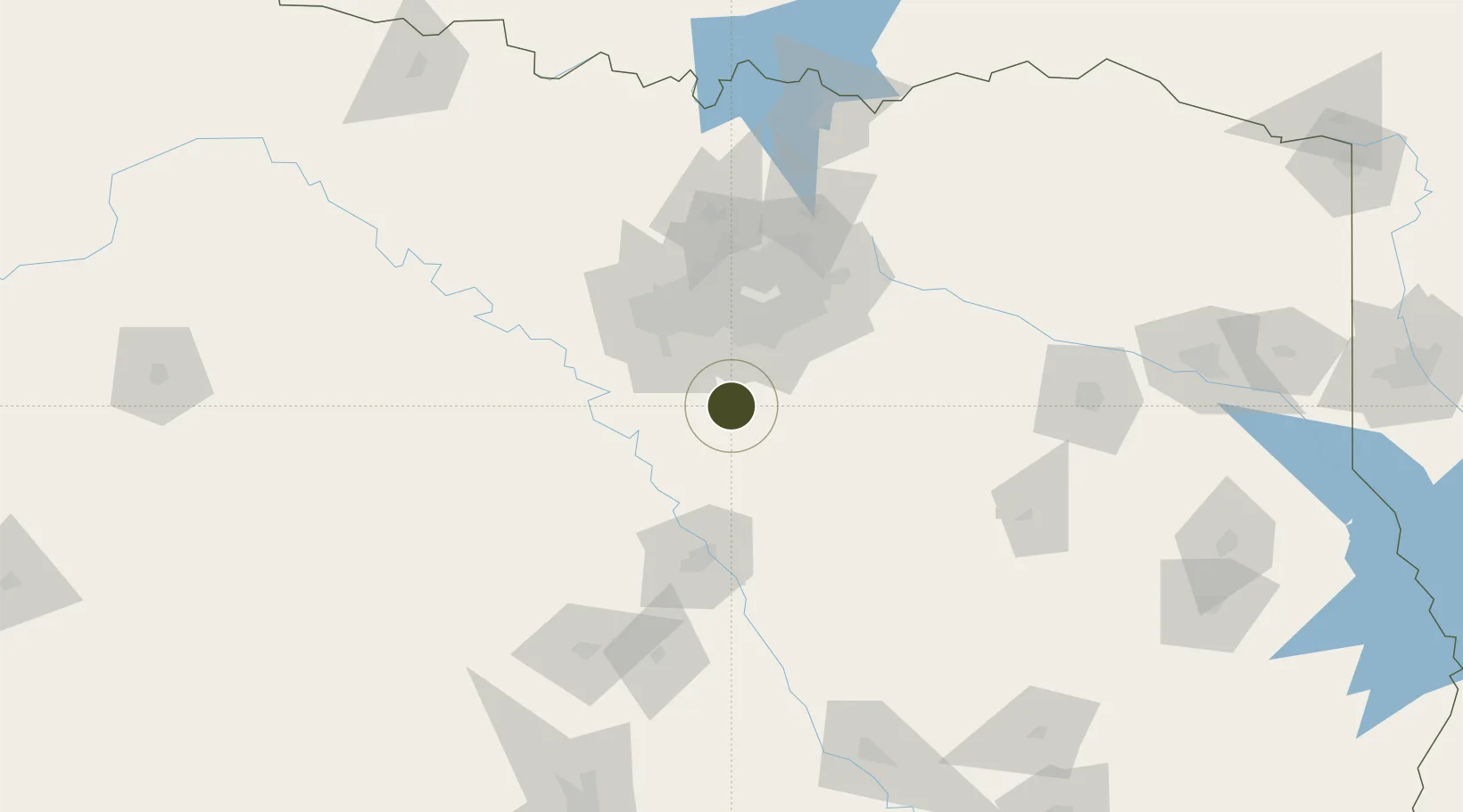
FTZ No. 113 Ellis County Active

32.3004°, -97.0154°
325.7 km
Nearest port
20.1 km
Nearest airport

Gateway access

Nearest neighbours — logibook spatial index (haversine) over the source coordinates

Zone profile

Zone type
Foreign Trade Zone
Open Zone Map
Region
Texas
Open Zone Map
Status
Active
Open Zone Map
Management
Public-Private Partnership
Open Zone Map
Operator
Ellis County Trade Zone Corp
Open Zone Map
Legal framework
Foreign-Trade Zones Act
Open Zone Map

Location

Location of ozm-4942
Natural Earth 10m (public domain) · Texas · ozm-4942 · 32.30, -97.02GoogleOSMYandex

Nearby Logistics Neighbours

Ports
  1. 1Deer Park326 km
  2. 2Houston328 km
  3. 3Pasadena335 km
  4. 4Baytown343 km
  5. 5Beaumont372 km
Nearest neighbours — logibook spatial index (haversine) over the source coordinates
Airports
  1. 1Mid-Way Regional Airport20 km
  2. 2Dallas Love Field63 km
  3. 3NAS Fort Worth JRB / Carswell Field66 km
  4. 4Fort Worth Meacham International Airport66 km
  5. 5Dallas Fort Worth International Airport66 km
Nearest neighbours — logibook spatial index (haversine) over the source coordinates
Cities
  1. 1Grandview15 km
  2. 2Italy18 km
  3. 3Alvarado21 km
  4. 4Keene30 km
  5. 5Red Oak31 km
Nearest neighbours — logibook spatial index (haversine) over the source coordinates
Trade Zones
  1. 1FTZ No. 168 Dallas Fort Worth68 km
  2. 2FTZ No. 196 Fort Worth76 km
  3. 3FTZ No. 246 Waco86 km
  4. 4FTZ No. 269 Athens107 km
  5. 5FTZ No. 039 Dallas Fort Worth112 km
Nearest neighbours — logibook spatial index (haversine) over the source coordinates
DatabookThe Record of Consolidated Knowledge
United States beyond logistics?
Browse databook

All Sources

Trade ZonesOpen Zone Map
CC BY
Portsthe NGA World Port Index
Public domain (US gov)
AirportsOurAirports
Public domain
LocationsUN/LOCODE
UN/LOCODE — free
← United States trade zones