Medium airport · United States
San Marcos Regional AirportKHYI
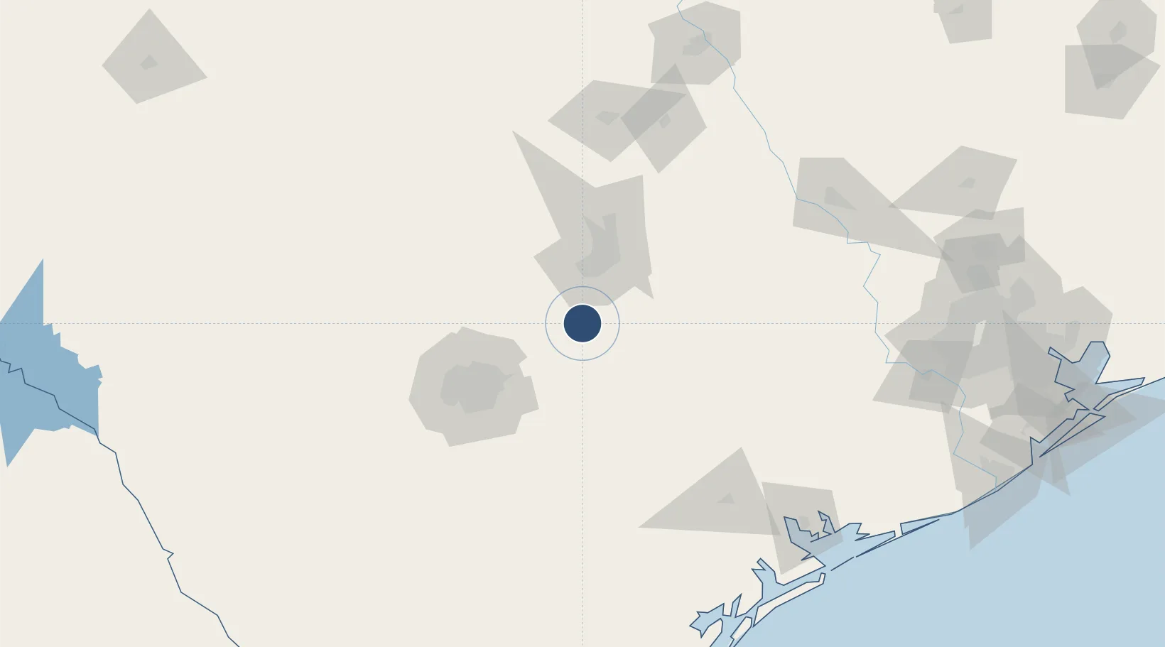
29.8927°, -97.8630°
6,330 ft
Longest runway
3
Runways
597 ft
Elevation
Runway & Layout

Radio Frequencies
AWOS
120.825 MHz
AWOS 3
CLD
121.35 MHz
CLNC DEL
A/D
119 MHz
AUSTIN APP/DEP
UNIC
123.05 MHz
CTAF/UNICOM
Runways · 3
| Runway | Dimensions | Surface | True heading | Lit |
|---|---|---|---|---|
| 08/26 | 6,330 × 100ft | Asphalt | 088° | ✓ |
| 13/31 | 5,601 × 100ft | Asphalt | 133° | ✓ |
| 17/35 | 5,214 × 100ft | Asphalt | 178° | ✓ |
Airport Specifications
ICAO code
KHYI
Airport class
Medium airport
Scheduled service
No
Runway surface
Asphalt
Served city
San Marcos
Location
Nearby Logistics Neighbours
Airports
Cities
- 1Kyle10 km
- 2Wimberley26 km
- 3Luling33 km
- 4Canyon Lake37 km
- 5Red Rock41 km
Ports
- 1Port Lavaca186 km
- 2Palacios209 km
- 3Rockport223 km
- 4Corpus Christi235 km
- 5Port Ingleside240 km
Trade Zones
- 1FTZ No. 183 Austin43 km
- 2FTZ No. 080 San Antonio101 km
- 3FTZ No. 246 Waco194 km
- 4FTZ No. 122 Corpus Christi236 km
- 5FTZ No. 084 Harris County247 km
DatabookThe Record of Consolidated Knowledge
United States beyond logistics?