Transport Functions
Rail
Road
Hub Profile
Place type
Provincial seat
Region
Texas
Population
3,341
Time zone
America/Chicago
Elevation
314 m
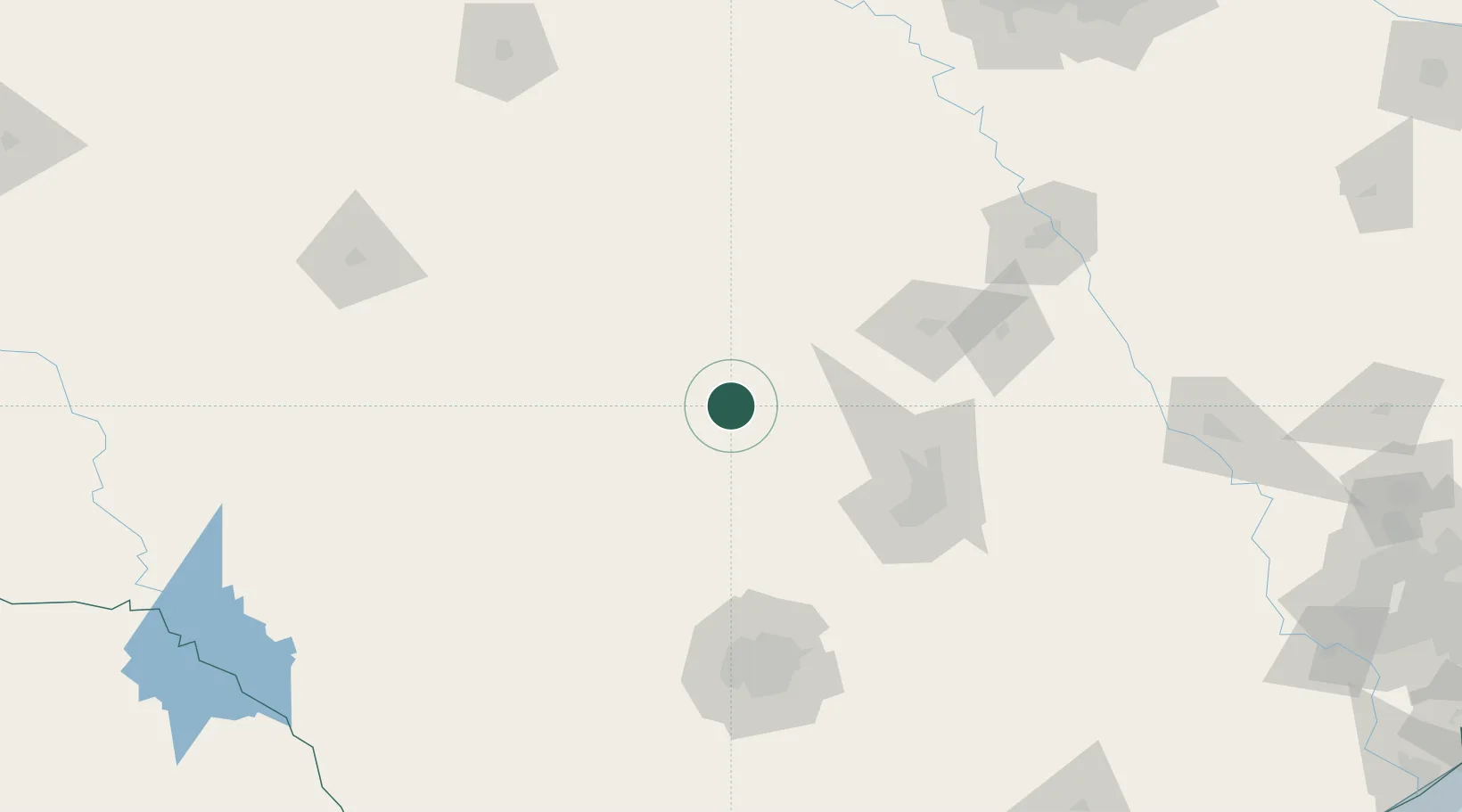
Location
Nearby Logistics Neighbours
Cities
- 1Tow24 km
- 2Kingsland25 km
- 3Granite Shoals33 km
- 4San Saba50 km
- 5Lampasas59 km
Ports
- 1Port Lavaca309 km
- 2Palacios330 km
- 3Deer Park339 km
- 4Rockport342 km
- 5Houston344 km
Airports
Trade Zones
- 1FTZ No. 183 Austin104 km
- 2FTZ No. 080 San Antonio142 km
- 3FTZ No. 246 Waco161 km
- 4FTZ No. 039 Dallas Fort Worth228 km
- 5FTZ No. 113 Ellis County233 km
DatabookThe Record of Consolidated Knowledge
United States beyond logistics?