Foreign Trade Zone · United States

FTZ No. 197 Dona Ana County Active

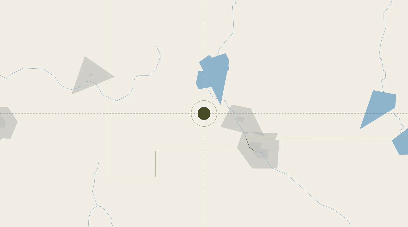
32.4167°, -107.3805°
604.8 km
Nearest port
36.3 km
Nearest airport

Gateway access

Nearest neighbours — logibook spatial index (haversine) over the source coordinates

Zone profile

Zone type
Foreign Trade Zone
Open Zone Map
Region
New Mexico
Open Zone Map
Status
Active
Open Zone Map
Management
Public
Open Zone Map
Operator
Board of County Commissioners of Dona Ana County
Open Zone Map
Legal framework
Foreign-Trade Zones Act
Open Zone Map

Location

Location of ozm-4863
Natural Earth 10m (public domain) · New Mexico · ozm-4863 · 32.42, -107.38GoogleOSMYandex

Nearby Logistics Neighbours

Ports
  1. 1Guaymas605 km
  2. 2Santa Rosalia737 km
  3. 3Isla San Marcos739 km
  4. 4Topolobampo776 km
  5. 5Ensenada873 km
Nearest neighbours — logibook spatial index (haversine) over the source coordinates
Airports
  1. 1Deming Municipal Airport36 km
  2. 2Las Cruces International Airport45 km
  3. 3Grant County Airport77 km
  4. 4Truth or Consequences Municipal Airport92 km
  5. 5Biggs Army Air Field (Fort Bliss)113 km
Nearest neighbours — logibook spatial index (haversine) over the source coordinates
Cities
  1. 1Hatch35 km
  2. 2Rincon41 km
  3. 3Radium Springs43 km
  4. 4Hurley77 km
  5. 5Canutillo91 km
Nearest neighbours — logibook spatial index (haversine) over the source coordinates
Trade Zones
  1. 1FTZ No. 068 El Paso116 km
  2. 2FTZ No. 150 El Paso116 km
  3. 3FTZ No. 139 Sierra Vista291 km
  4. 4FTZ No. 110 Albuquerque301 km
  5. 5FTZ No. 174 Pima County335 km
Nearest neighbours — logibook spatial index (haversine) over the source coordinates
DatabookThe Record of Consolidated Knowledge
United States beyond logistics?
Browse databook

All Sources

Trade ZonesOpen Zone Map
CC BY
Portsthe NGA World Port Index
Public domain (US gov)
AirportsOurAirports
Public domain
LocationsUN/LOCODE
UN/LOCODE — free
← United States trade zones