Channel & Berth Profile
Pilotage, Tugs & Services
Pilotage compulsoryYES
Pilotage availableYES
Potable waterYES
Diesel bunkersYES
MedicalYES
Facilities & Capabilities
Container—
Ro-Ro—
Liquid bulk—
Dry bulk—
Oil terminal—
Break bulk—
Dry dock—
Repairs—
Bunkering—
Rail link—
Dangerous cargo—
ISPS security—
Harbour Specifications
Harbour size
Very Small
Harbour type
Open Roadstead
Shelter
Poor
Water body
Gulf of California; North Pacific Ocean
Pilotage
Yes
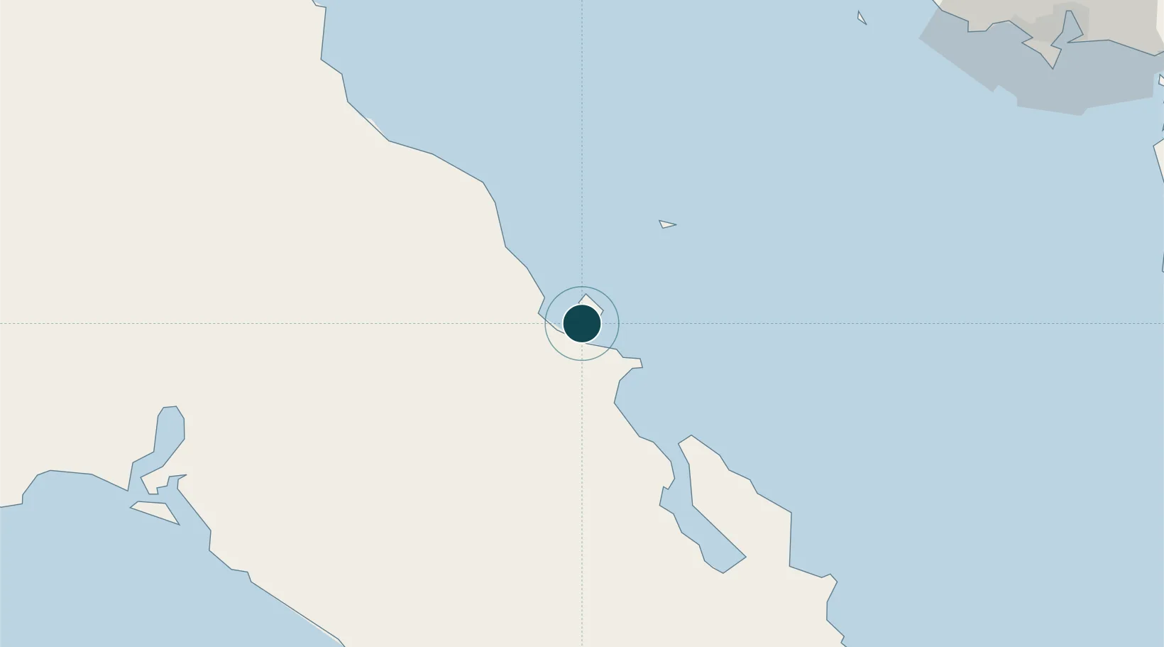
Location
Nearby Logistics Neighbours
Ports
- 1Santa Rosalia25 km
- 2Guaymas142 km
- 3Puerto Morro Redondo319 km
- 4San Juan De La Costa340 km
- 5Topolobampo350 km
Cities
- 1Loreto140 km
- 2Guaymas147 km
- 3Empalme154 km
- 4Puerto Libertad307 km
- 5Cedros319 km
Airports
Trade Zones
- 1FTZ No. 060 Nogales477 km
- 2FTZ No. 139 Sierra Vista517 km
- 3FTZ No. 174 Pima County578 km
- 4FTZ No. 219 Yuma660 km
- 5FTZ No. 221 Mesa694 km
DatabookThe Record of Consolidated Knowledge
Mexico beyond logistics?