Seaport · Mexico
Santa RosaliaMXSRL
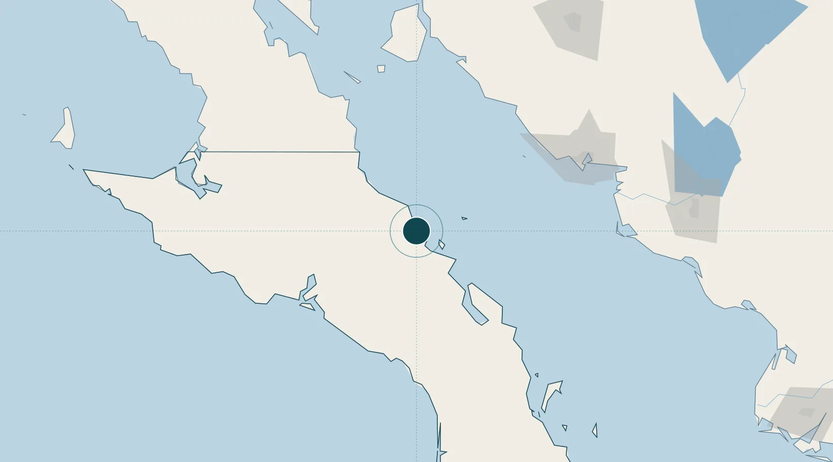
27.3333°, -112.2833°
9.4 m
Channel depth
15.1
Port liner connectivity
Channel & Berth Profile
Pilotage, Tugs & Services
Pilotage compulsoryYES
Pilotage availableYES
Tug assistanceNO
Potable waterYES
MedicalYES
Facilities & Capabilities
Container—
Ro-Ro—
Liquid bulk—
Dry bulk—
Oil terminal—
Break bulk—
Dry dock—
RepairsNO
Bunkering—
Rail linkNO
Dangerous cargo—
ISPS security—
Harbour Specifications
Harbour size
Small
Harbour type
Coastal (Breakwater)
Shelter
Fair
Water body
Gulf of California; North Pacific Ocean
Tidal range
1 m
Pilotage
Yes
Liner Connectivity
15.1
PLSCI
Port Liner Shipping Connectivity Index for Santa Rosalia, as published by UNCTAD for the latest available quarter. Higher values indicate stronger scheduled liner-shipping integration.
Shown relative to the highest per-port PLSCI in the dataset (1,657.9).
Location
Nearby Logistics Neighbours
Ports
- 1Isla San Marcos25 km
- 2Guaymas150 km
- 3Puerto Morro Redondo296 km
- 4San Juan De La Costa363 km
- 5Topolobampo374 km
Cities
- 1Isla San Marcos22 km
- 2Loreto150 km
- 3Guaymas154 km
- 4Empalme161 km
- 5Puerto Libertad288 km
Airports
Trade Zones
- 1FTZ No. 060 Nogales465 km
- 2FTZ No. 139 Sierra Vista507 km
- 3FTZ No. 174 Pima County566 km
- 4FTZ No. 219 Yuma638 km
- 5FTZ No. 221 Mesa678 km
DatabookThe Record of Consolidated Knowledge
Mexico beyond logistics?