Transport Functions
Port
Road
Hub Profile
Place type
Provincial seat
Region
Alabama
Population
1,930
Time zone
America/Chicago
Elevation
64 m
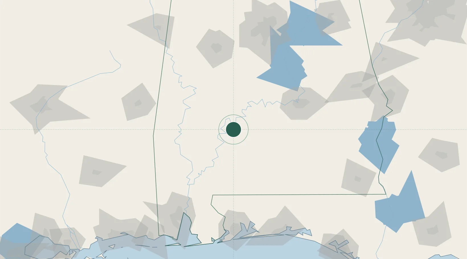
Location
Nearby Logistics Neighbours
Cities
- 1Pine Apple31 km
- 2Thomasville43 km
- 3Perdue Hill56 km
- 4Georgiana64 km
- 5McKenzie75 km
Ports
- 1Mobile165 km
- 2Pensacola176 km
- 3Pascagoula219 km
- 4Biloxi234 km
- 5Gulfport250 km
Airports
Trade Zones
- 1FTZ No. 222 Montgomery101 km
- 2FTZ No. 082 Mobile163 km
- 3FTZ No. 249 Pensacola172 km
- 4FTZ No. 098 Birmingham177 km
- 5FTZ No. 233 Dothan195 km
DatabookThe Record of Consolidated Knowledge
United States beyond logistics?