Medium airport · United States
Naval Air Station Meridian / McCain FieldKNMM
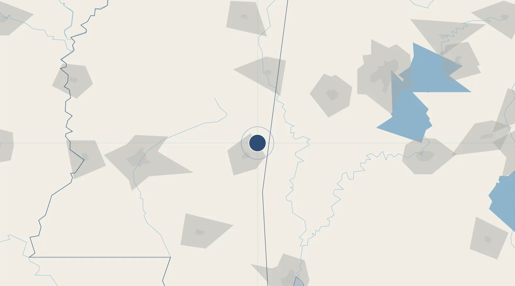
32.5531°, -88.5541°
8,003 ft
Longest runway
3
Runways
316 ft
Elevation
Runway & Layout

Radio Frequencies
ATIS
27.32 MHz
TWR
126.2 MHz
MC CAIN TWR
GND
33.64 MHz
MC CAIN GND
CLD
30.1 MHz
CLNC DEL
APP
119.2 MHz
DEP
124.8 MHz
OPS
35.22 MHz
BASE OPS
PMSV
31.24 MHz
PMSV METRO
Navaids
NMM TACAN Meridian 111.90 MHz
Runways · 3
| Runway | Dimensions | Surface | True heading | Lit |
|---|---|---|---|---|
| 01L/19R | 8,003 × 200ft | Concrete | 009° | ✓ |
| 01R/19L | 8,000 × 200ft | Concrete | 009° | ✓ |
| 10/28 | 6,402 × 200ft | Concrete | 099° | ✓ |
Airport Specifications
ICAO code
KNMM
Airport class
Medium airport
Scheduled service
No
Runway surface
Concrete
Served city
Lauderdale
Location
Nearby Logistics Neighbours
Airports
Cities
- 1Pennington62 km
- 2Newton62 km
- 3Coldwater63 km
- 4Pachuta66 km
- 5Noxapater69 km
Ports
- 1Mobile212 km
- 2Biloxi243 km
- 3Pascagoula245 km
- 4Gulfport250 km
- 5Pensacola271 km
Trade Zones
- 1FTZ No. 098 Birmingham195 km
- 2FTZ No. 158 Vicksburg Jackson211 km
- 3FTZ No. 222 Montgomery211 km
- 4FTZ No. 082 Mobile212 km
- 5FTZ No. 092 Harrison County241 km
DatabookThe Record of Consolidated Knowledge
United States beyond logistics?