Transport Functions
Port
Road
Multimodal
Hub Profile
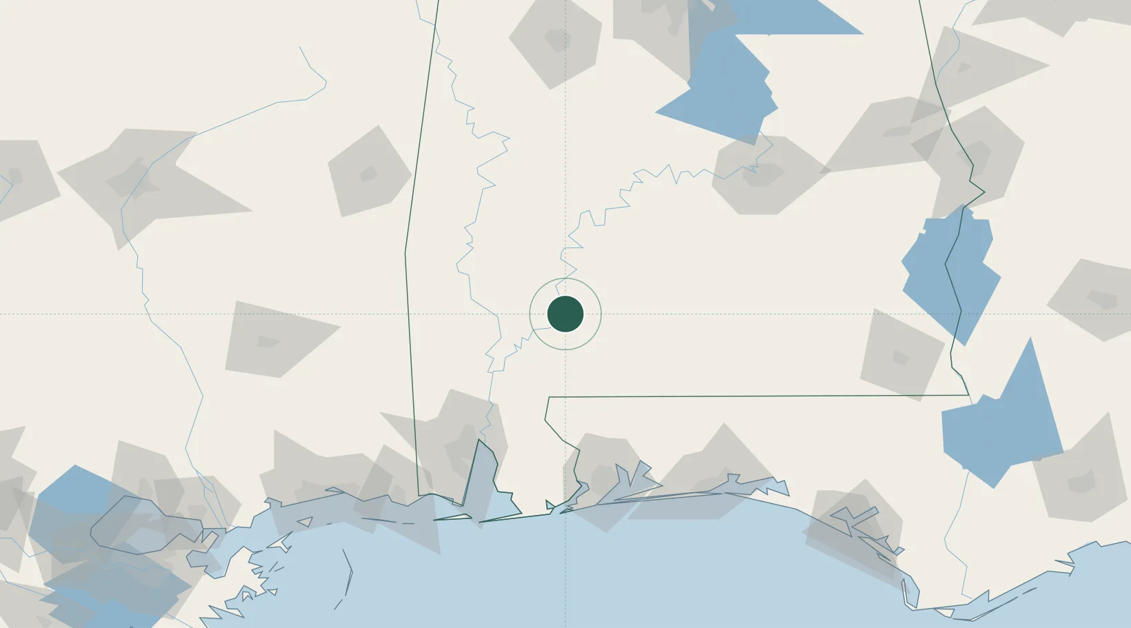
Place type
Populated place
Region
Alabama
Time zone
America/Chicago
Elevation
117 m
Logistics facilities
1
Location
Nearby Logistics Neighbours
Cities
- 1Uriah24 km
- 2Leroy47 km
- 3Castleberry49 km
- 4Thomasville50 km
- 5Atmore55 km
Ports
- 1Mobile110 km
- 2Pensacola127 km
- 3Pascagoula165 km
- 4Biloxi183 km
- 5Gulfport199 km
Airports
Trade Zones
- 1FTZ No. 082 Mobile108 km
- 2FTZ No. 249 Pensacola122 km
- 3FTZ No. 222 Montgomery147 km
- 4FTZ No. 092 Harrison County187 km
- 5FTZ No. 233 Dothan199 km
DatabookThe Record of Consolidated Knowledge
United States beyond logistics?