UN/LOCODE hub · United States
USTVM
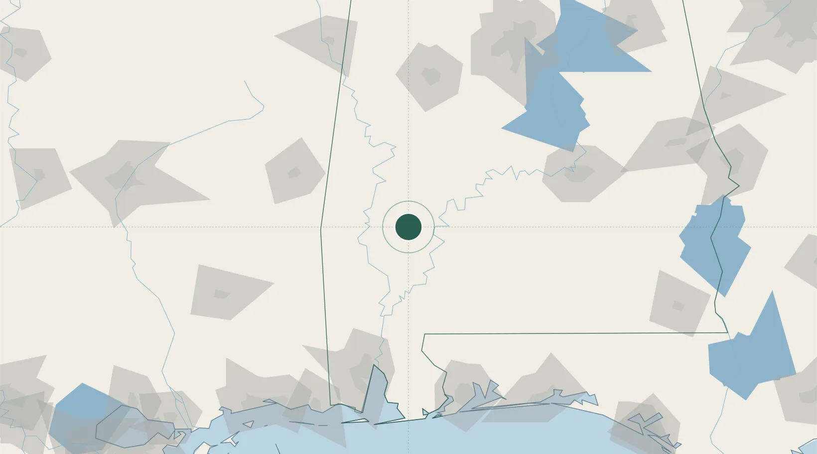
Thomasville
31.9167°, -87.7333°
4,051
Population
2
Transport functions
Transport Functions
Rail
Road
Hub Profile
Place type
Populated place
Region
Alabama
Population
4,051
Time zone
America/Chicago
Elevation
116 m
Location
Nearby Logistics Neighbours
Cities
- 1Camden43 km
- 2Pennington43 km
- 3Perdue Hill50 km
- 4Leroy52 km
- 5Chatom70 km
Ports
- 1Mobile142 km
- 2Pensacola176 km
- 3Pascagoula191 km
- 4Biloxi203 km
- 5Gulfport217 km
Airports
Trade Zones
- 1FTZ No. 082 Mobile141 km
- 2FTZ No. 222 Montgomery143 km
- 3FTZ No. 249 Pensacola171 km
- 4FTZ No. 098 Birmingham198 km
- 5FTZ No. 092 Harrison County204 km
DatabookThe Record of Consolidated Knowledge
United States beyond logistics?