Transport Functions
Road
Multimodal
Hub Profile
Place type
Populated place
Region
Montana
Time zone
America/Denver
Elevation
1,520 m
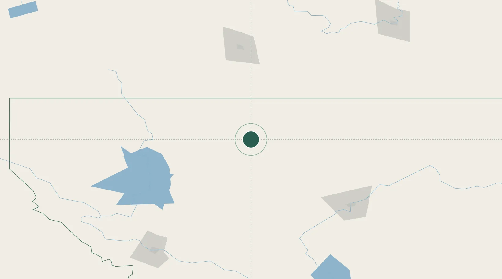
Location
Nearby Logistics Neighbours
Cities
- 1Coutts84 km
- 2Warner103 km
- 3Bigfork110 km
- 4Columbia Falls110 km
- 5New Dayton115 km
Ports
- 1Mission City706 km
- 2Everett708 km
- 3Mukilteo714 km
- 4The Dalles716 km
- 5Bellingham723 km
Airports
Trade Zones
- 1FTZ No. 187 Toole County36 km
- 2FTZ No. 088 Great Falls137 km
- 3FTZ No. 275 Lansing268 km
- 4FTZ No. 274 Butte-Silver Bow280 km
- 5FTZ No. 242 Boundary County307 km
DatabookThe Record of Consolidated Knowledge
United States beyond logistics?