Transport Functions
Rail
Road
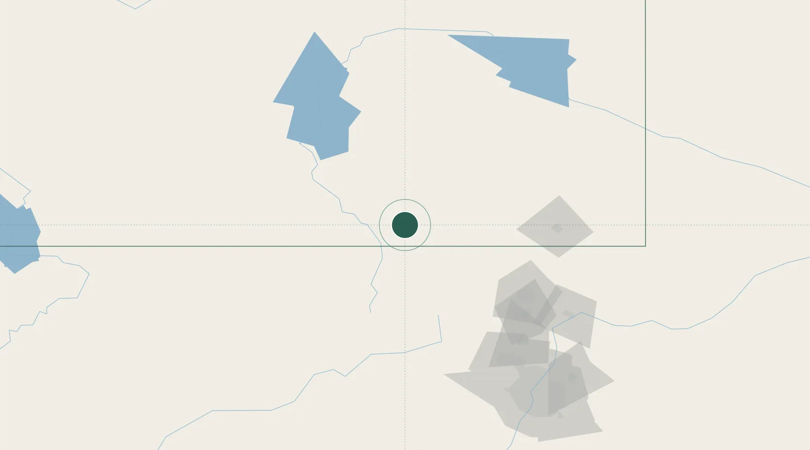
Hub Profile
Place type
Populated place
Region
Wyoming
Population
55
Time zone
America/Denver
Elevation
2,538 m
Location
Nearby Logistics Neighbours
Cities
- 1Red Feather Lakes63 km
- 2Medicine Bow80 km
- 3Laporte95 km
- 4Oak Creek124 km
- 5Lyons130 km
Ports
- 1Newport Beach1335 km
- 2Long Beach1344 km
- 3Los Angeles1349 km
- 4El Segundo1350 km
- 5San Diego1358 km
Airports
Trade Zones
- 1FTZ No. 298 Jefferson County180 km
- 2FTZ No. 123 Denver187 km
- 3FTZ No. 112 Colorado Springs284 km
- 4FTZ No. 293 Limon298 km
- 5FTZ No. 030 Salt Lake City494 km
DatabookThe Record of Consolidated Knowledge
United States beyond logistics?