Transport Functions
Rail
Road
Hub Profile
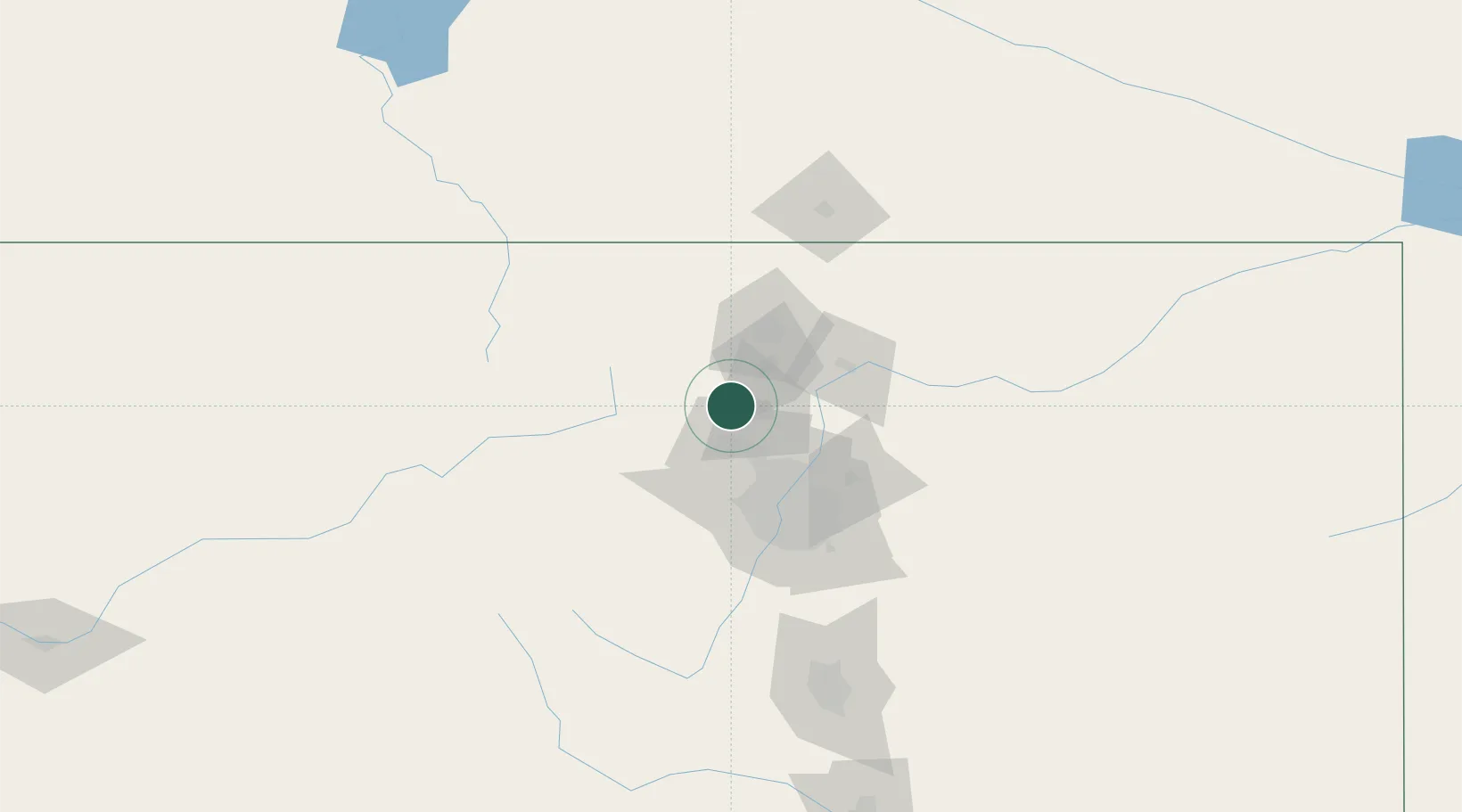
Place type
Populated place
Region
Colorado
Population
2,147
Time zone
America/Denver
Elevation
1,637 m
Location
Nearby Logistics Neighbours
Ports
- 1Duluth1285 km
- 2Superior1286 km
- 3Newport Beach1340 km
- 4San Diego1351 km
- 5Rosarito1371 km
Airports
Trade Zones
- 1FTZ No. 298 Jefferson County54 km
- 2FTZ No. 123 Denver58 km
- 3FTZ No. 112 Colorado Springs159 km
- 4FTZ No. 293 Limon172 km
- 5FTZ No. 030 Salt Lake City572 km
DatabookThe Record of Consolidated Knowledge
United States beyond logistics?