Medium airport · United States
Rawlins Municipal Airport/Harvey FieldKRWL
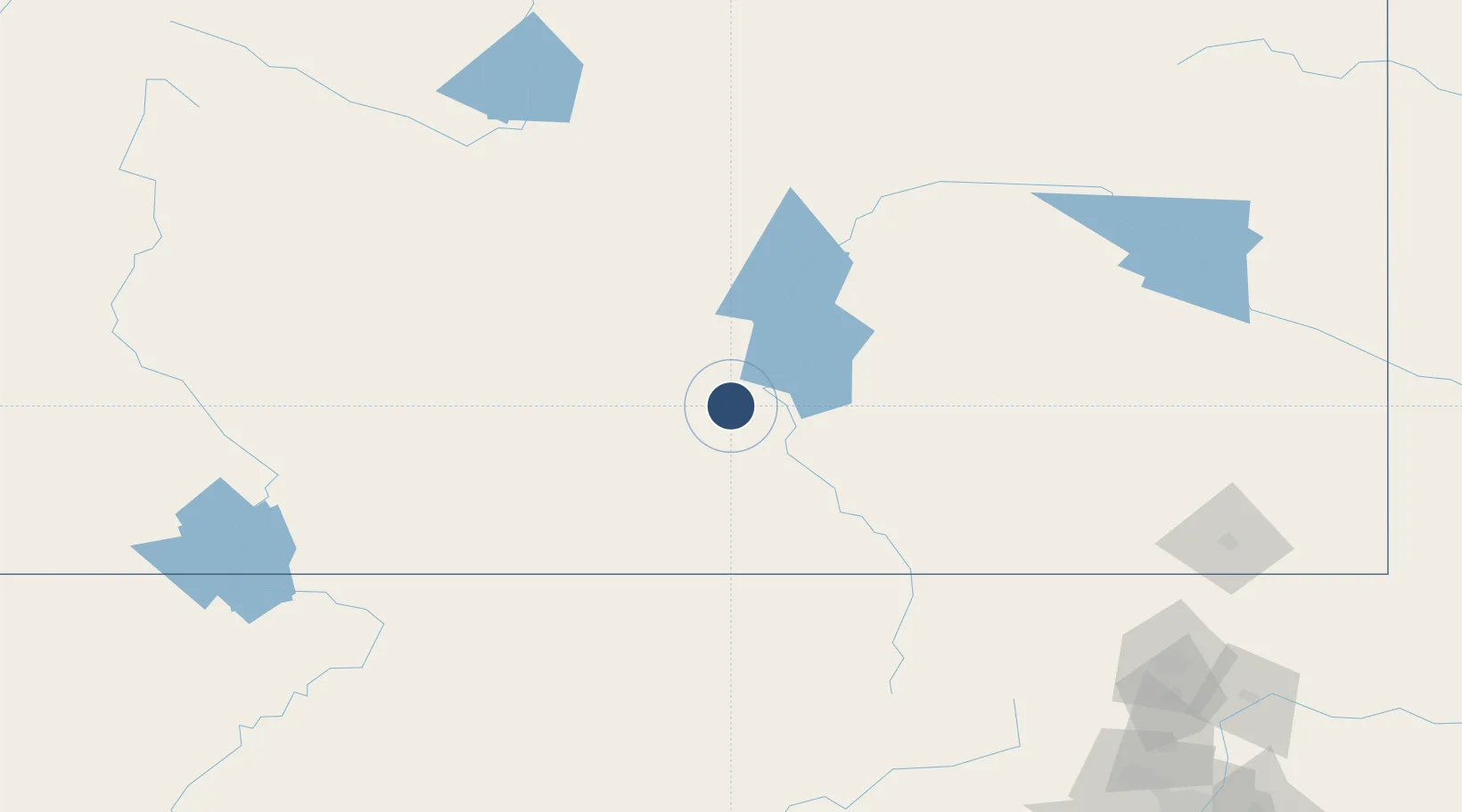
41.8056°, -107.2000°
7,008 ft
Longest runway
2
Runways
6,813 ft
Elevation
Runway & Layout

Radio Frequencies
ASOS
118.525 MHz
CNTR
132.1 MHz
DENVER CNTR
RDO
122.2 MHz
CASPER RDO
UNIC
123 MHz
CTAF/UNICOM
Runways · 2
| Runway | Dimensions | Surface | True heading | Lit |
|---|---|---|---|---|
| 04/22 | 7,008 × 100ft | Asphalt | 054° | ✓ |
| 11/29 | 4,322 × 60ft | Asphalt | 115° | ✓ |
Airport Specifications
IATA code
RWL
ICAO code
KRWL
Airport class
Medium airport
Scheduled service
No
Runway surface
Asphalt
Served city
Rawlins
Location
Nearby Logistics Neighbours
Airports
- 1Casper-Natrona County International Airport137 km
- 2Laramie Regional Airport138 km
- 3Yampa Valley Airport147 km
- 4Southwest Wyoming Regional Airport157 km
- 5Hunt Field169 km
Cities
- 1Medicine Bow84 km
- 2Albany113 km
- 3Point of Rocks131 km
- 4Mills133 km
- 5Evansville139 km
Ports
- 1Newport Beach1308 km
- 2Long Beach1314 km
- 3El Segundo1318 km
- 4Los Angeles1319 km
- 5San Diego1340 km
Trade Zones
- 1FTZ No. 298 Jefferson County287 km
- 2FTZ No. 123 Denver296 km
- 3FTZ No. 112 Colorado Springs387 km
- 4FTZ No. 293 Limon410 km
- 5FTZ No. 030 Salt Lake City416 km
DatabookThe Record of Consolidated Knowledge
United States beyond logistics?