Medium airport · United States
Cheyenne Regional Jerry Olson FieldKCYS
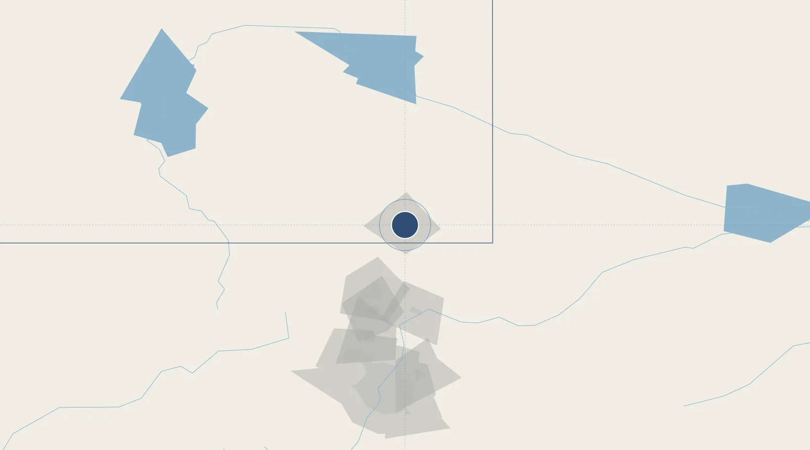
41.1557°, -104.8120°
9,270 ft
Longest runway
2
Runways
6,159 ft
Elevation
Runway & Layout

Radio Frequencies
ATIS
134.425 MHz
TWR
118.7 MHz
GND
121.9 MHz
CTAF
118.7 MHz
A/D
124.55 MHz
APP/DEP
MISC
126.2 MHz
ARNG OPS
OPS
22.552 MHz
ANG OPS/COMD POST
RDO
122.3 MHz
CASPER RDO
UNIC
122.95 MHz
UNICOM
Navaids
CY NDB Horse 353 kHz
CYS VORTAC Cheyenne 113.10 MHz
Runways · 2
| Runway | Dimensions | Surface | True heading | Lit |
|---|---|---|---|---|
| 09/27 | 9,270 × 150ft | Concrete | 095° | ✓ |
| 13/31 | 6,690 × 150ft | Asphalt | 135° | ✓ |
Airport Specifications
IATA code
CYS
ICAO code
KCYS
Airport class
Medium airport
Scheduled service
Yes
Runway surface
Concrete
Served city
Cheyenne
Location
Nearby Logistics Neighbours
Airports
Cities
- 1Laporte55 km
- 2Pine Bluffs62 km
- 3Albin66 km
- 4Red Feather Lakes76 km
- 5Lucerne85 km
Ports
- 1Duluth1191 km
- 2Superior1192 km
- 3Newport Beach1426 km
- 4San Diego1443 km
- 5Rosarito1465 km
Trade Zones
- 1FTZ No. 123 Denver158 km
- 2FTZ No. 298 Jefferson County160 km
- 3FTZ No. 293 Limon231 km
- 4FTZ No. 112 Colorado Springs258 km
- 5FTZ No. 030 Salt Lake City604 km
DatabookThe Record of Consolidated Knowledge
United States beyond logistics?