UN/LOCODE hub · United States
USZEE
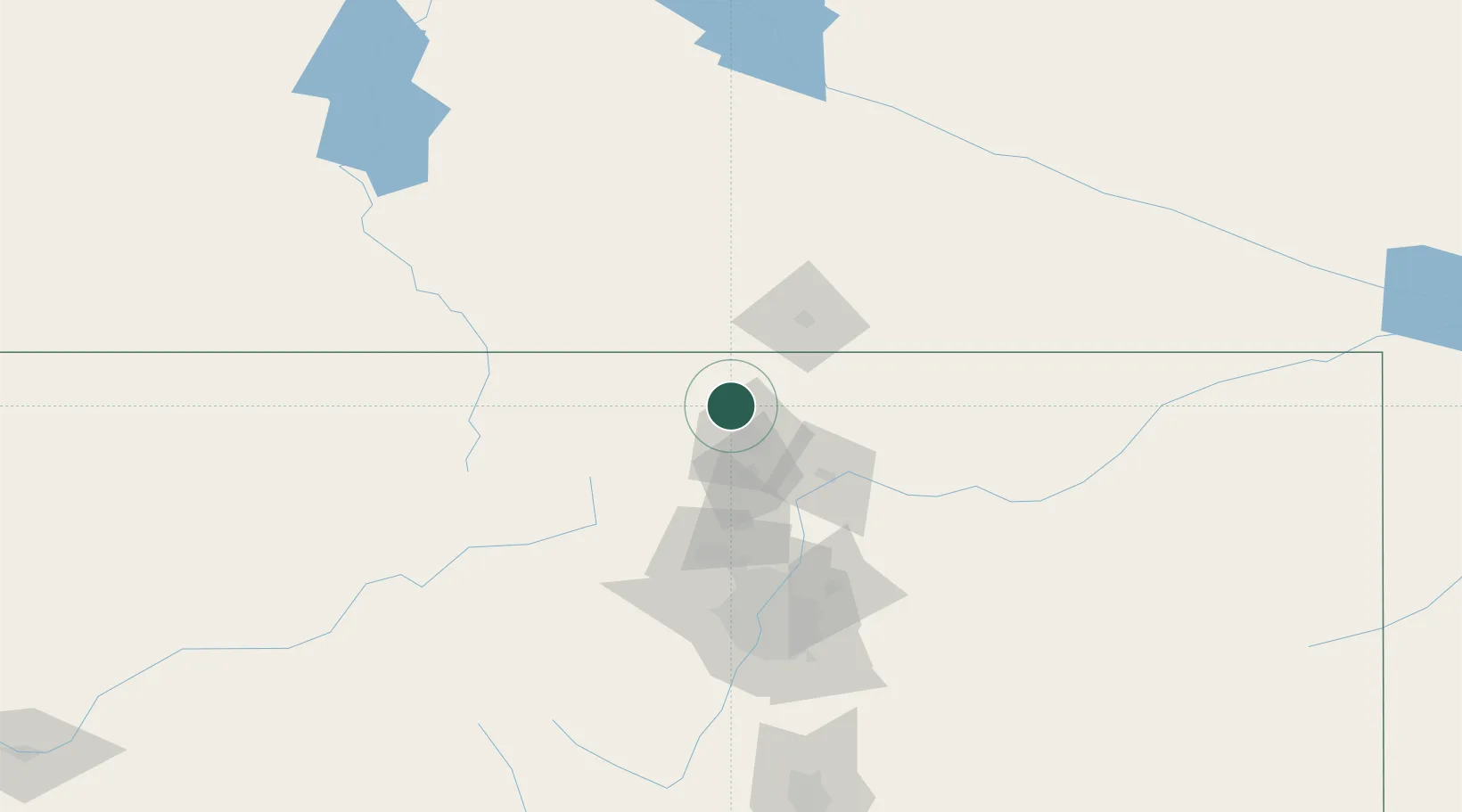
Laporte
40.7421°, -105.1707°
2,450
Population
1
Transport functions
Transport Functions
Multimodal
Hub Profile
Place type
Populated place
Region
Colorado
Population
2,450
Time zone
America/Denver
Elevation
1,543 m
Logistics facilities
1
Location
Nearby Logistics Neighbours
Cities
- 1Red Feather Lakes35 km
- 2Berthoud50 km
- 3Johnstown51 km
- 4Lyons59 km
- 5La Salle59 km
Ports
- 1Duluth1243 km
- 2Superior1243 km
- 3Newport Beach1376 km
- 4San Diego1391 km
- 5Rosarito1413 km
Airports
Trade Zones
- 1FTZ No. 298 Jefferson County111 km
- 2FTZ No. 123 Denver112 km
- 3FTZ No. 293 Limon208 km
- 4FTZ No. 112 Colorado Springs214 km
- 5FTZ No. 030 Salt Lake City574 km
DatabookThe Record of Consolidated Knowledge
United States beyond logistics?