UN/LOCODE hub · United States
USRF5
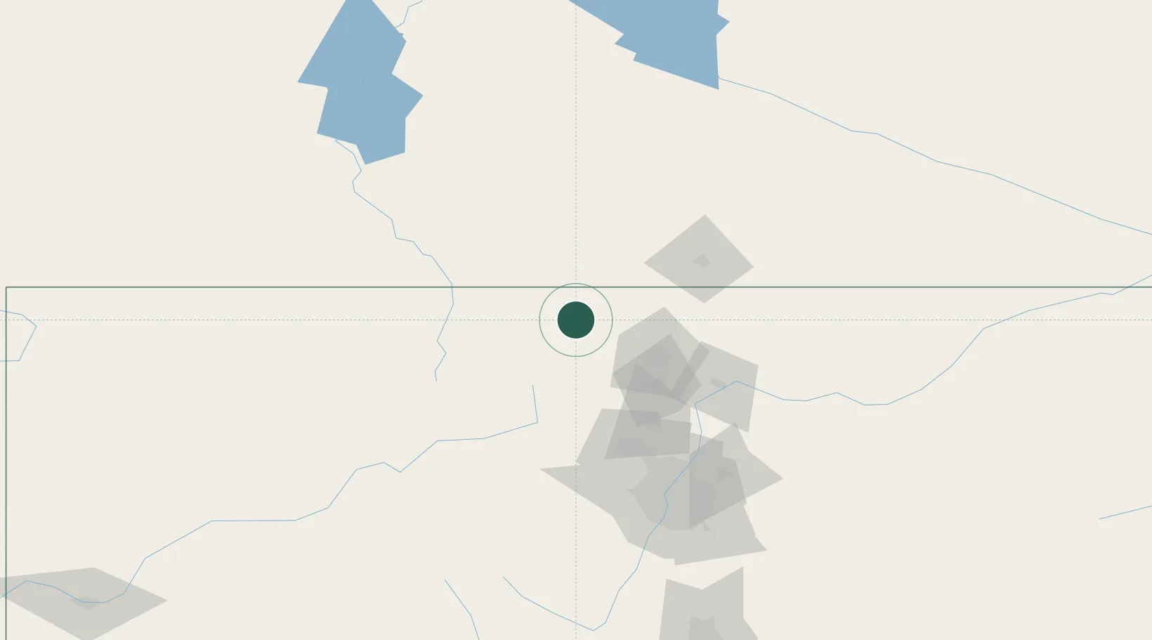
Red Feather Lakes
40.8000°, -105.5833°
343
Population
1
Transport functions
Transport Functions
Port
Hub Profile
Place type
Populated place
Region
Colorado
Population
343
Time zone
America/Denver
Elevation
2,544 m
Location
Nearby Logistics Neighbours
Ports
- 1Duluth1267 km
- 2Superior1268 km
- 3Newport Beach1350 km
- 4San Diego1367 km
- 5Rosarito1389 km
Airports
Trade Zones
- 1FTZ No. 298 Jefferson County123 km
- 2FTZ No. 123 Denver128 km
- 3FTZ No. 112 Colorado Springs228 km
- 4FTZ No. 293 Limon235 km
- 5FTZ No. 030 Salt Lake City539 km
DatabookThe Record of Consolidated Knowledge
United States beyond logistics?