UN/LOCODE hub · United States
USVMB
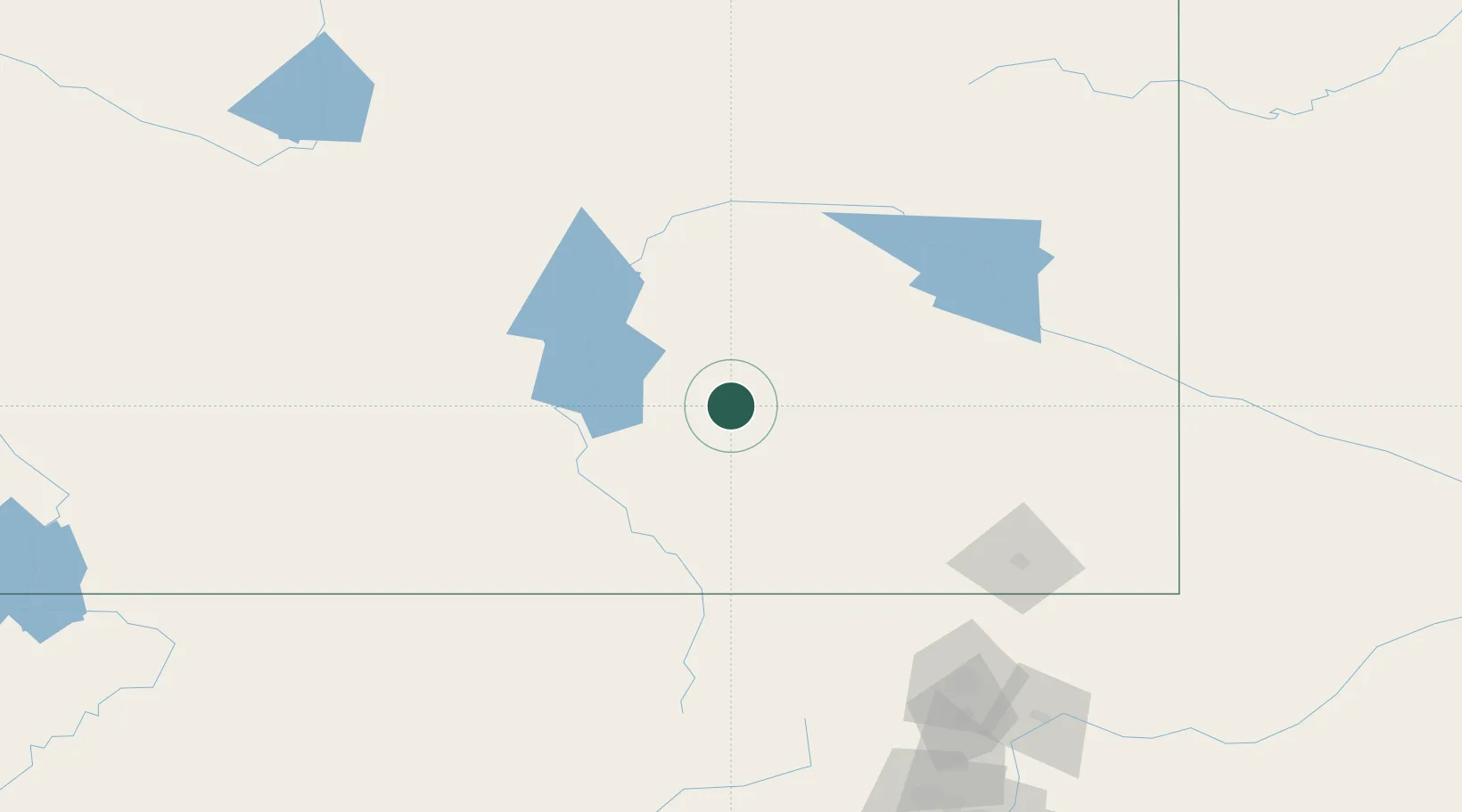
Medicine Bow
41.9000°, -106.2000°
270
Population
2
Transport functions
Transport Functions
Rail
Road
Hub Profile
Place type
Populated place
Region
Wyoming
Population
270
Time zone
America/Denver
Elevation
2,001 m
Location
Nearby Logistics Neighbours
Cities
- 1Albany80 km
- 2Mills105 km
- 3Evansville106 km
- 4Glenrock109 km
- 5Guernsey126 km
Ports
- 1Newport Beach1378 km
- 2Long Beach1385 km
- 3El Segundo1390 km
- 4Los Angeles1391 km
- 5San Diego1407 km
Airports
Trade Zones
- 1FTZ No. 298 Jefferson County256 km
- 2FTZ No. 123 Denver261 km
- 3FTZ No. 112 Colorado Springs361 km
- 4FTZ No. 293 Limon362 km
- 5FTZ No. 030 Salt Lake City499 km
DatabookThe Record of Consolidated Knowledge
United States beyond logistics?