Medium airport · United States

Northern Colorado Regional AirportKFNL

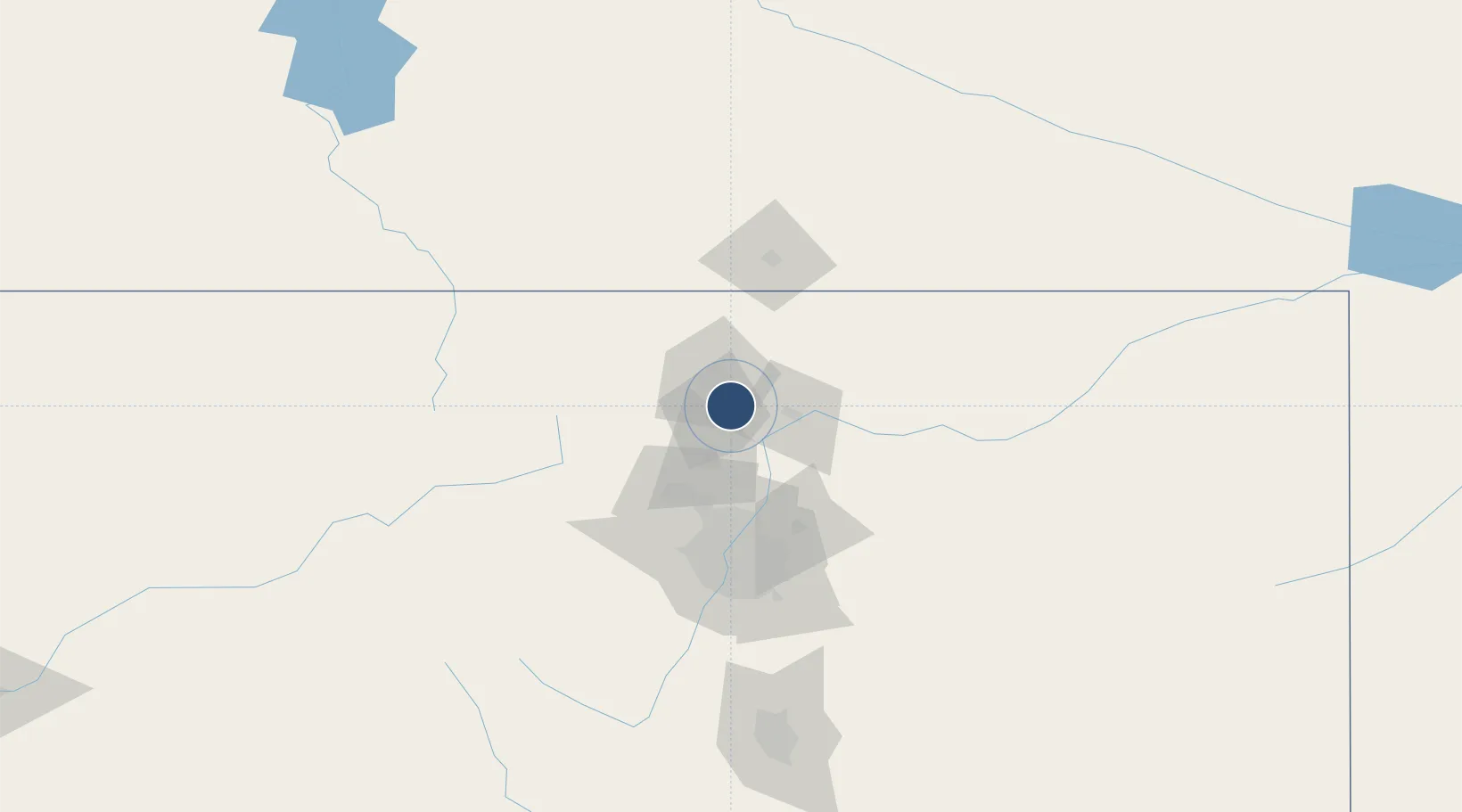
40.4497°, -105.0113°
8,500 ft
Longest runway
2
Runways
5,016 ft
Elevation

Runway & Layout

Northern Colorado Regional Airport runway & taxiway layout
Runway & taxiway layout — OpenStreetMap (ODbL) / OurAirports

Radio Frequencies

AWOS
135.075 MHz
AWOS 3
CLD
120.25 MHz
CLNC DEL
A/D
134.85 MHz
DENVER APP/DEP
RDO
122.4 MHz
DENVER RDO
UNIC
122.7 MHz
CTAF/UNICOM
OurAirports

Runways · 2

RunwayDimensions SurfaceTrue headingLit
15/33 8,500 × 100ft Asphalt 160°
06/24 2,189 × 40ft Asphalt 071°
OurAirports

Airport Specifications

IATA code
FNL
OurAirports
ICAO code
KFNL
OurAirports
Airport class
Medium airport
OurAirports
Scheduled service
No
OurAirports
Runway surface
Asphalt
OurAirports
Served city
Loveland
OurAirports

Location

Location of KFNL
Natural Earth 10m (public domain) · Colorado · KFNL · 40.45, -105.01GoogleOSMYandex

Nearby Logistics Neighbours

Airports
  1. 1Rocky Mountain Metropolitan Airport61 km
  2. 2Denver International Airport72 km
  3. 3Cheyenne Regional Jerry Olson Field80 km
  4. 4Buckley Space Force Base86 km
  5. 5Centennial Airport99 km
Nearest neighbours — logibook spatial index (haversine) over the source coordinates
Cities
  1. 1Johnstown16 km
  2. 2Berthoud18 km
  3. 3La Salle29 km
  4. 4Lyons34 km
  5. 5Laporte35 km
Nearest neighbours — logibook spatial index (haversine) over the source coordinates
Ports
  1. 1Duluth1252 km
  2. 2Superior1253 km
  3. 3Newport Beach1371 km
  4. 4San Diego1384 km
  5. 5Rosarito1404 km
Nearest neighbours — logibook spatial index (haversine) over the source coordinates
Trade Zones
  1. 1FTZ No. 123 Denver79 km
  2. 2FTZ No. 298 Jefferson County80 km
  3. 3FTZ No. 293 Limon174 km
  4. 4FTZ No. 112 Colorado Springs181 km
  5. 5FTZ No. 030 Salt Lake City590 km
Nearest neighbours — logibook spatial index (haversine) over the source coordinates
DatabookThe Record of Consolidated Knowledge
United States beyond logistics?
Browse databook

All Sources

AirportsOurAirports
Public domain
Portsthe NGA World Port Index
Public domain (US gov)
LocationsUN/LOCODE
UN/LOCODE — free
Trade Zonesthe World Bank SEZ database
CC BY 4.0
Trade ZonesOpen Zone Map
CC BY
InfrastructureOpenStreetMap
ODbL 1.0
← United States airports