UN/LOCODE hub · United States
USWM2

Wagon Mound

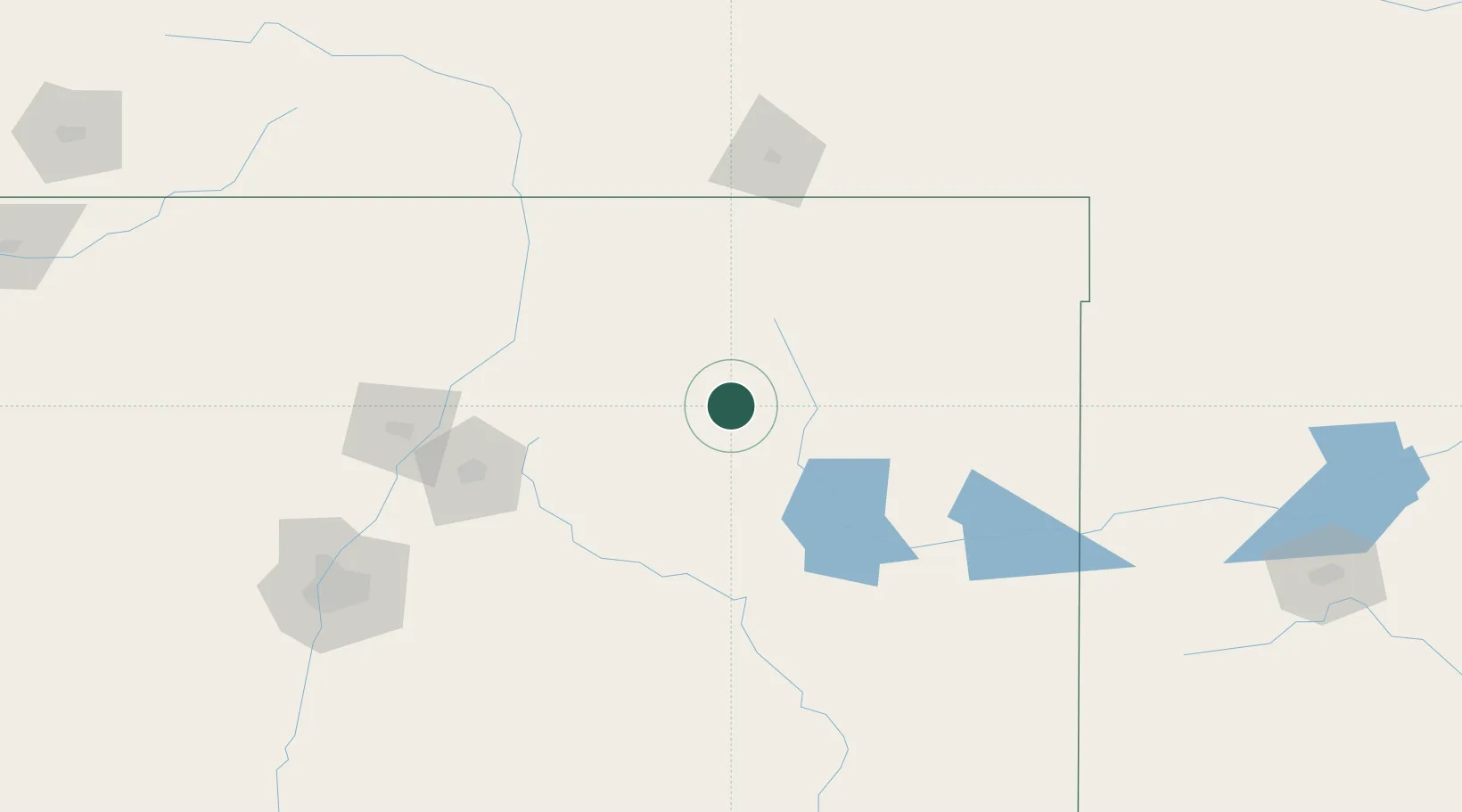
36.0000°, -104.7167°
297
Population
2
Transport functions

Transport Functions

Rail
Road
UN/LOCODE

Hub Profile

Place type
Populated place
GeoNames
Region
New Mexico
GeoNames
Population
297
GeoNames
Time zone
America/Denver
GeoNames
Elevation
1,890 m
GeoNames

Location

Location of USWM2
Natural Earth 10m (public domain) · New Mexico · USWM2 · 36.00, -104.72GoogleOSMYandex

Nearby Logistics Neighbours

Cities
  1. 1Ranchos de Taos88 km
  2. 2Chimayo109 km
  3. 3Santa Rosa119 km
  4. 4Alcade120 km
  5. 5San Juan Pueblo122 km
Nearest neighbours — logibook spatial index (haversine) over the source coordinates
Ports
  1. 1Guaymas1072 km
  2. 2Deer Park1117 km
  3. 3Port Lavaca1119 km
  4. 4Houston1121 km
  5. 5Pasadena1128 km
Nearest neighbours — logibook spatial index (haversine) over the source coordinates
Airports
  1. 1Las Vegas Municipal Airport54 km
  2. 2Taos Regional Airport100 km
  3. 3Santa Fe Municipal Airport131 km
  4. 4Tucumcari Municipal Airport136 km
  5. 5San Luis Valley Regional Airport/Bergman Field190 km
Nearest neighbours — logibook spatial index (haversine) over the source coordinates
Trade Zones
  1. 1FTZ No. 110 Albuquerque216 km
  2. 2FTZ No. 252 Amarillo272 km
  3. 3FTZ No. 112 Colorado Springs315 km
  4. 4FTZ No. 260 Lubbock363 km
  5. 5FTZ No. 261 Alexandria363 km
Nearest neighbours — logibook spatial index (haversine) over the source coordinates
DatabookThe Record of Consolidated Knowledge
United States beyond logistics?
Browse databook

All Sources

LocationsUN/LOCODE
UN/LOCODE — free
LocationsGeoNames
CC BY 4.0
Portsthe NGA World Port Index
Public domain (US gov)
AirportsOurAirports
Public domain
Trade Zonesthe World Bank SEZ database
CC BY 4.0
Trade ZonesOpen Zone Map
CC BY
← United States locations