Transport Functions
Port
Airport
Hub Profile
Place type
Populated place
Region
Moscow Oblast
Time zone
Europe/Moscow
Elevation
183 m
Logistics facilities
2
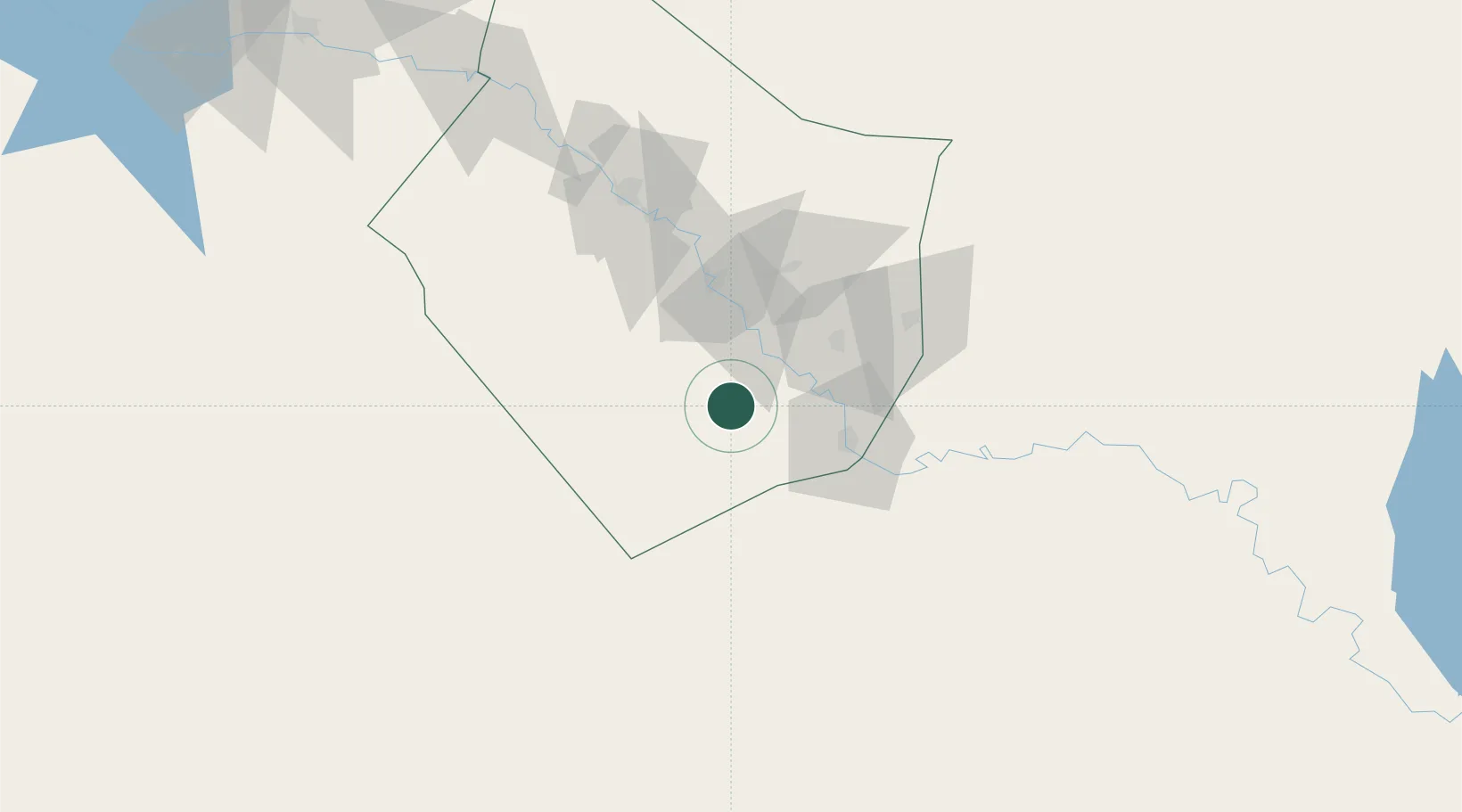
Location
Nearby Logistics Neighbours
Cities
- 1Al Asad198 km
- 2Khan al Baghdadi205 km
- 3Mosul (Ak Mawsil)254 km
- 4Nusaybin280 km
- 5Kabatas286 km
Ports
- 1Baniyas423 km
- 2Tartus427 km
- 3Tarabulus430 km
- 4Al Ladhiqiyah445 km
- 5Selaata448 km
Airports
- 1Deir ez-Zor Airport81 km
- 2H1 New Air Base122 km
- 3H2 Air Base139 km
- 4H3 Northwest AFB191 km
- 5Al Asad Air Base199 km
Trade Zones
- 1Al Yarubiyah Free Zone281 km
- 2Mardin Free Zone297 km
- 3Waad Al-Shamal Industial City341 km
- 4Aleppo Free Zone351 km
- 5Adra Free Zone380 km
DatabookThe Record of Consolidated Knowledge
Russia beyond logistics?