Transport Functions
Port
Road
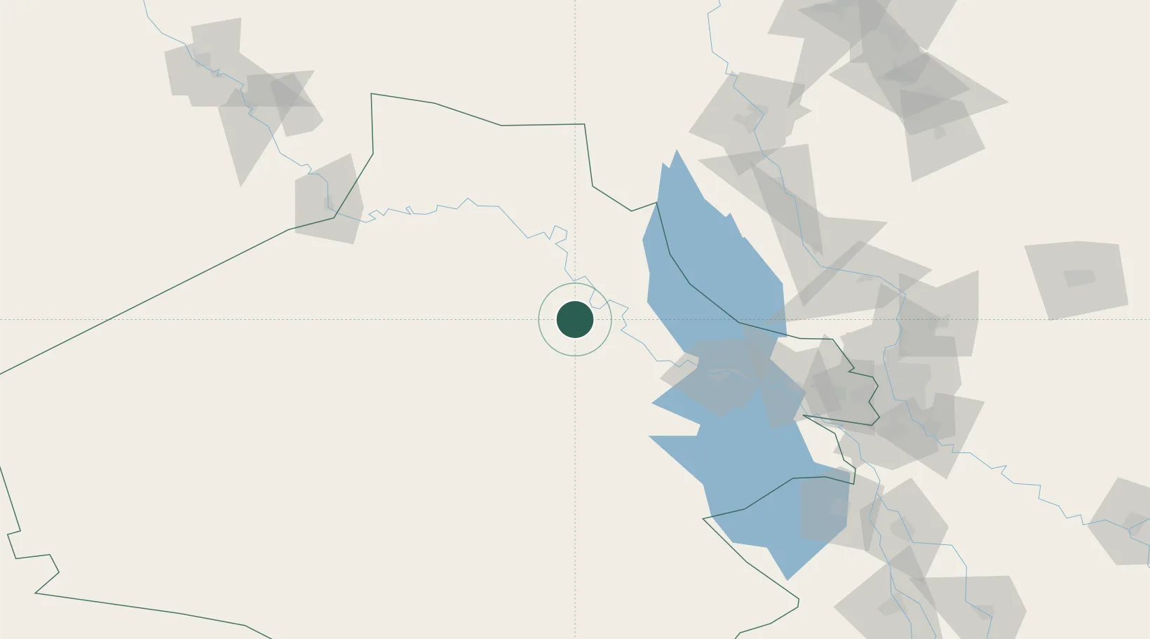
Location
Nearby Logistics Neighbours
Cities
- 1Khan al Baghdadi12 km
- 2Al Taqaddum118 km
- 3Samarra'140 km
- 4Balad159 km
- 5Taji172 km
Ports
- 1Al Basrah625 km
- 2Iskenderun650 km
- 3Khawr Al Zubair653 km
- 4Yakacik654 km
- 5Khorramshahr657 km
Airports
- 1Al Asad Air Base1 km
- 2H1 New Air Base92 km
- 3Al Taqaddum Air Base119 km
- 4Al Sahra Army Air Field142 km
- 5Al Taji Army Air Field171 km
Trade Zones
- 1Qasr-e-Shirin Special Economic Zone301 km
- 2Arar Industrial City331 km
- 3Al Yarubiyah Free Zone339 km
- 4Waad Al-Shamal Industial City385 km
- 5Baneh Special Economic Zone403 km
DatabookThe Record of Consolidated Knowledge
Iraq beyond logistics?