Transport Functions
Port
Road
Hub Profile
Place type
Provincial seat
Region
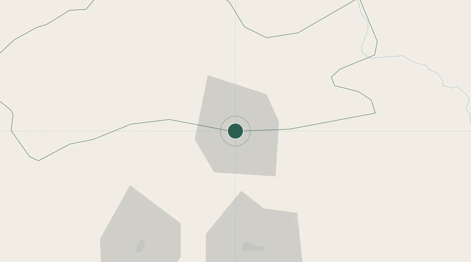
Mardin
Population
88,977
Time zone
Europe/Istanbul
Elevation
476 m
Location
Nearby Logistics Neighbours
Cities
- 1Kopru87 km
- 2Atakoy113 km
- 3Poliport126 km
- 4Zakho132 km
- 5Mosul (Ak Mawsil)158 km
Ports
- 1Rize449 km
- 2Yakacik449 km
- 3Iskenderun452 km
- 4Trabzon457 km
- 5Toros Gubre467 km
Airports
- 1Qamishli International Airport6 km
- 2Mardin Airport55 km
- 3Şırnak Şerafettin Elçi Airport82 km
- 4Batman Airport96 km
- 5Siirt Airport115 km
Trade Zones
- 1Mardin Free Zone54 km
- 2Al Yarubiyah Free Zone80 km
- 3Salmas Special Economic Zone334 km
- 4Gaziantep Free Zone343 km
- 5West Islamabad Special Economic Zone363 km
DatabookThe Record of Consolidated Knowledge
Türkiye beyond logistics?