Medium airport · Iraq
Al Asad Air BaseORAA
33.7856°, 42.4412°
13,124 ft
Longest runway
3
Runways
618 ft
Elevation
Runway & Layout

Radio Frequencies
ATIS
25.092 MHz
INFO
TWR
131.225 MHz
GND
121.175 MHz
APP
118.6 MHz
MISC
33.55 MHz
MEDEVAC
OPS
116.15 MHz
PMSV
24.432 MHz
METRO
POST
29.867 MHz
ADACG
Navaids
MAA TACAN Al Asad 112.00 MHz
Runways · 3
| Runway | Dimensions | Surface | True heading | Lit |
|---|---|---|---|---|
| 09L/27R | 13,124 × 197ft | Asphalt | 088° | ✓ |
| 09R/27L | 13,123 × 148ft | Asphalt | 088° | ✓ |
| 08/26 | 10,125 × 338ft | Graded earth | 089° | — |
Airport Specifications
IATA code
IQA
ICAO code
ORAA
Airport class
Medium airport
Scheduled service
No
Runway surface
Asphalt
Served city
Hīt
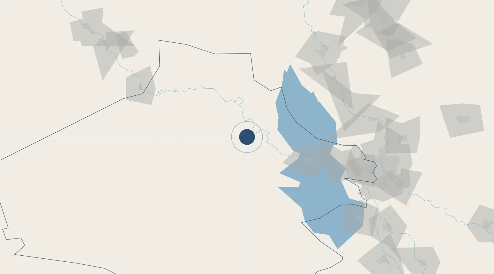
Location
Nearby Logistics Neighbours
Airports
- 1H1 New Air Base93 km
- 2Al Taqaddum Air Base118 km
- 3Al Sahra Army Air Field141 km
- 4Al Taji Army Air Field171 km
- 5Samarra East Air Base / Dhuluiya Airport173 km
Cities
- 1Al Asad1 km
- 2Khan al Baghdadi11 km
- 3Al Taqaddum117 km
- 4Samarra'139 km
- 5Balad158 km
Ports
- 1Al Basrah624 km
- 2Iskenderun650 km
- 3Khawr Al Zubair652 km
- 4Yakacik655 km
- 5Khorramshahr657 km
Trade Zones
- 1Qasr-e-Shirin Special Economic Zone300 km
- 2Arar Industrial City331 km
- 3Al Yarubiyah Free Zone338 km
- 4Waad Al-Shamal Industial City386 km
- 5Baneh Special Economic Zone402 km
DatabookThe Record of Consolidated Knowledge
Iraq beyond logistics?