Transport Functions
Rail
Road
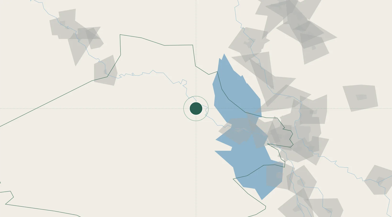
Location
Nearby Logistics Neighbours
Cities
- 1Al Asad12 km
- 2Al Taqaddum111 km
- 3Samarra'128 km
- 4Balad147 km
- 5Taji163 km
Ports
- 1Al Basrah619 km
- 2Khawr Al Zubair647 km
- 3Khorramshahr651 km
- 4Iskenderun656 km
- 5Yakacik661 km
Airports
- 1Al Asad Air Base11 km
- 2H1 New Air Base103 km
- 3Al Taqaddum Air Base112 km
- 4Al Sahra Army Air Field131 km
- 5Al Taji Army Air Field162 km
Trade Zones
- 1Qasr-e-Shirin Special Economic Zone289 km
- 2Al Yarubiyah Free Zone334 km
- 3Arar Industrial City340 km
- 4Baneh Special Economic Zone391 km
- 5Waad Al-Shamal Industial City397 km
DatabookThe Record of Consolidated Knowledge
Iraq beyond logistics?