Diversified Zone · Türkiye

Mardin Free Zone Inactive
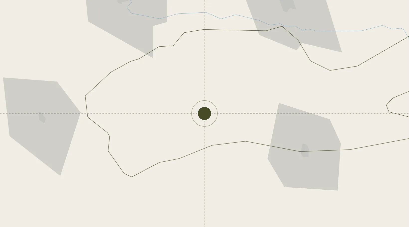
37.2782°, 40.6668°
202 ha
Zone area
403.0 km
Nearest port
6.9 km
Nearest airport

Gateway access

Nearest neighbours — logibook spatial index (haversine) over the source coordinates

Zone profile

Zone type
Diversified Zone
Open Zone Map
Region
Mardin
Open Zone Map
Status
Inactive
Open Zone Map
Management
Public-Private Partnership
Open Zone Map
Operator
MASBAŞ: Mardin Free Zone Founder and Operator Inc.
Open Zone Map
Legal framework
Free Zones Law: Law Nr. 3218 Approved: June 6, 1985
Open Zone Map

Location

Location of ozm-4545
Natural Earth 10m (public domain) · Mardin · ozm-4545 · 37.28, 40.67GoogleOSMYandex

Nearby Logistics Neighbours

Ports
  1. 1Yakacik403 km
  2. 2Iskenderun407 km
  3. 3Toros Gubre419 km
  4. 4Rize422 km
  5. 5Botas422 km
Nearest neighbours — logibook spatial index (haversine) over the source coordinates
Airports
  1. 1Mardin Airport7 km
  2. 2Qamishli International Airport55 km
  3. 3Diyarbakır Airport80 km
  4. 4Batman Airport83 km
  5. 5Şırnak Şerafettin Elçi Airport123 km
Nearest neighbours — logibook spatial index (haversine) over the source coordinates
Cities
  1. 1Nusaybin54 km
  2. 2Kopru65 km
  3. 3Atakoy72 km
  4. 4Poliport145 km
  5. 5Kabatas147 km
Nearest neighbours — logibook spatial index (haversine) over the source coordinates
Trade Zones
  1. 1Al Yarubiyah Free Zone134 km
  2. 2Gaziantep Free Zone294 km
  3. 3Aleppo Free Zone327 km
  4. 4Salmas Special Economic Zone372 km
  5. 5Maku Mako Trade-Industrial Free Zone399 km
Nearest neighbours — logibook spatial index (haversine) over the source coordinates
DatabookThe Record of Consolidated Knowledge
Türkiye beyond logistics?
Browse databook

All Sources

Trade ZonesOpen Zone Map
CC BY
Portsthe NGA World Port Index
Public domain (US gov)
AirportsOurAirports
Public domain
LocationsUN/LOCODE
UN/LOCODE — free
← Türkiye trade zones