Free Trade Zone · Saudi Arabia
Waad Al-Shamal Industial City Active
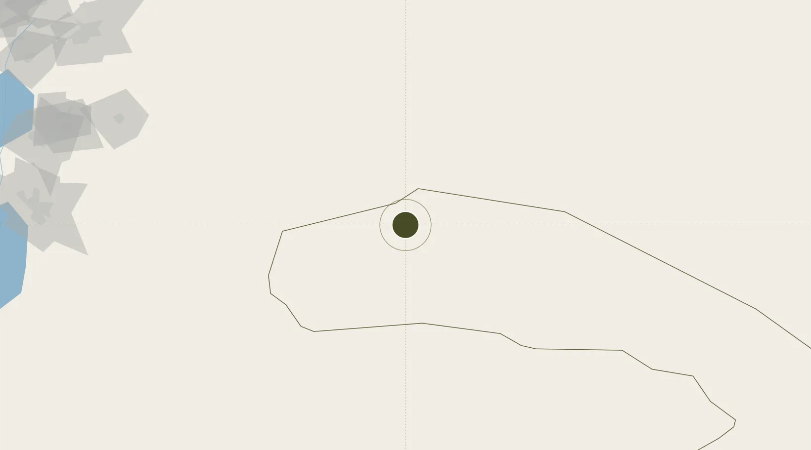
31.8066°, 39.0488°
29,000 ha
Zone area
394.1 km
Nearest port
32.6 km
Nearest airport
Gateway access
Zone profile
Zone type
Free Trade Zone
Region
Al Hudud ash Shamaliyah
Status
Active
Management
Public
Operator
Saudi Authority for Industrial Estates and Technology Zones
Legal framework
Ministerial Legislation No. 235 dated 27/8/1422H
Location
Nearby Logistics Neighbours
Ports
- 1Sayda394 km
- 2Haifa397 km
- 3Hadera397 km
- 4Sidon/zahrani Terminal399 km
- 5Bayrut405 km
Airports
- 1Turaif Domestic Airport33 km
- 2Ruwayshid Air Base67 km
- 3H3 Southwest Air Base117 km
- 4H3 Air Base141 km
- 5H3 Northwest AFB150 km
Cities
- 1Zarka Free Zone280 km
- 2Rota-Izmit Bay285 km
- 3Abu Alandah291 km
- 4Beit Shean Jordan Cargo Terminal314 km
- 5Beit Shean Jordan Meshakef315 km
Trade Zones
- 1Arar Industrial City214 km
- 2Al-Jouf Modon Oasis243 km
- 3Al-Muwaqar Industrial Estate266 km
- 4Zarqa Free Zone269 km
- 5Al Mafraq Industrial Estate275 km
DatabookThe Record of Consolidated Knowledge
Saudi Arabia beyond logistics?