Runway & Layout

Airport Specifications
Airport class
Medium airport
Scheduled service
No
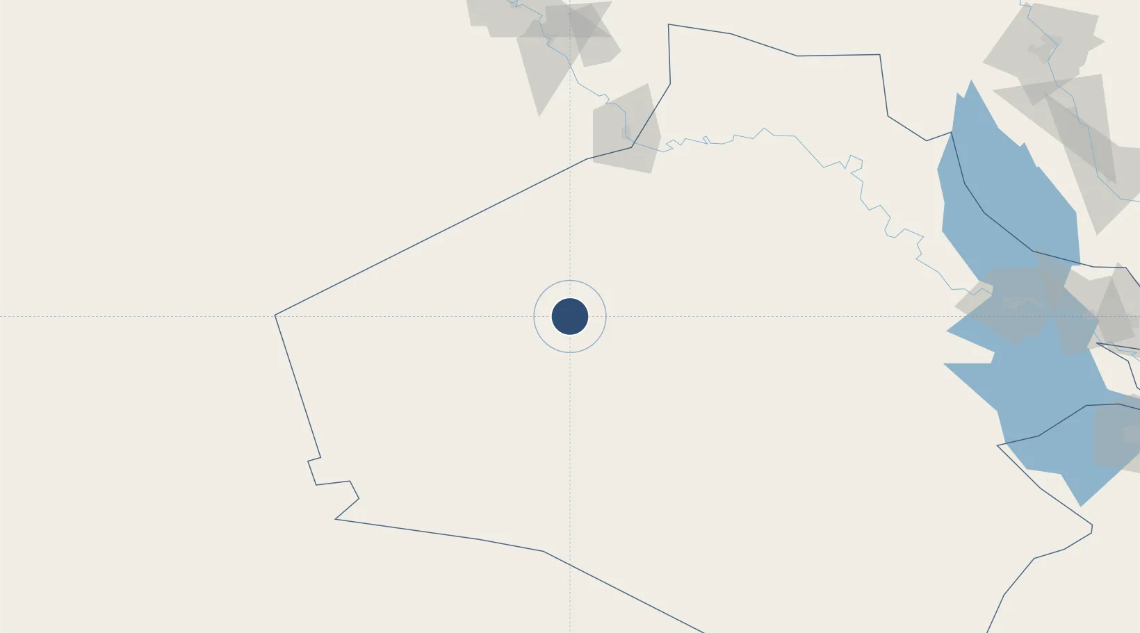
Location
Nearby Logistics Neighbours
Airports
- 1H3 Air Base92 km
- 2H1 New Air Base93 km
- 3H3 Northwest AFB97 km
- 4H3 Southwest Air Base115 km
- 5Ruwayshid Air Base173 km
Cities
- 1Arkhangelsk139 km
- 2Al Asad177 km
- 3Khan al Baghdadi189 km
- 4Al Taqaddum278 km
- 5Samarra'317 km
Trade Zones
- 1Waad Al-Shamal Industial City225 km
- 2Arar Industrial City265 km
- 3Adra Free Zone372 km
- 4Damascus International Airport Free Zone379 km
- 5Damascus Free Zone400 km
DatabookThe Record of Consolidated Knowledge
Iraq beyond logistics?