Seaport · Russia

Arkhangels'kRUARH

64.5297°, 40.5217°
7.9 m
Channel depth
22.7
Port liner connectivity
Arkhangels'k is also a UN/LOCODE logistics hub →

Channel & Berth Profile

SEA LEVEL (CD)CHANNEL BEDChannel · 7.9 mCargo pier · 7.9 mOil terminal · 7.9 mAnchorage · 9.4 m
NGA World Port Index

Pilotage, Tugs & Services

Pilotage compulsoryYES
Pilotage availableYES
Pilotage advisableYES
Tug assistanceYES
Shore powerYES
Potable waterYES
Diesel bunkersYES
MedicalYES
Garbage disposalYES
NGA World Port Index

Facilities & Capabilities

Container
Ro-Ro
Liquid bulk
Dry bulk
Oil terminal
Break bulk
Dry dockNO
RepairsNO
BunkeringYES
Rail linkYES
Dangerous cargo
ISPS security
NGA World Port Index

Harbour Specifications

Harbour size
Medium
NGA World Port Index
Harbour type
River (Natural)
NGA World Port Index
Shelter
Good
NGA World Port Index
Water body
White Sea; Barents Sea; Arctic Ocean
NGA World Port Index
Tidal range
1 m
NGA World Port Index
Overhead limit
Yes
NGA World Port Index
Pilotage
Yes
NGA World Port Index

Liner Connectivity

22.7
PLSCI

Port Liner Shipping Connectivity Index for Arkhangels'k, as published by UNCTAD for the latest available quarter. Higher values indicate stronger scheduled liner-shipping integration.

Shown relative to the highest per-port PLSCI in the dataset (1,657.9).
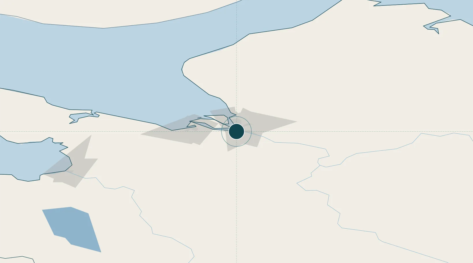
UNCTAD · Port Liner Shipping Connectivity Index

Location

Location of RUARH
Natural Earth 10m (public domain) · Arkhangel'sk · RUARH · 64.53, 40.52GoogleOSMYandex

Nearby Logistics Neighbours

Ports
  1. 1Severodvinsk36 km
  2. 2Mezen224 km
  3. 3Ostrovnoy Gremikha395 km
  4. 4Kandalaksha468 km
  5. 5Vitino469 km
Nearest neighbours — logibook spatial index (haversine) over the source coordinates
Cities
  1. 1Novodvinsk20 km
  2. 2Ekonomiya20 km
  3. 3Solovki248 km
  4. 4Oleniy Ostrov380 km
  5. 5Kondopoga404 km
Nearest neighbours — logibook spatial index (haversine) over the source coordinates
Airports
  1. 1Vaskovo Airport11 km
  2. 2Talagi Airport12 km
  3. 3Solovki Airport234 km
  4. 4Leshukonskoye Airport250 km
  5. 5Pudozh360 km
Nearest neighbours — logibook spatial index (haversine) over the source coordinates
Trade Zones
  1. 1Murmansk Special Economic Zone590 km
  2. 2Free Zone of Lappeenranta739 km
  3. 3St Petersburg Technology Innovative Special Economic Zone753 km
  4. 4Dubna Technology Innovative Special Economic Zone883 km
  5. 5Zavidovo Special Economic Zone909 km
Nearest neighbours — logibook spatial index (haversine) over the source coordinates
DatabookThe Record of Consolidated Knowledge
Russia beyond logistics?
Browse databook

All Sources

Portsthe NGA World Port Index
Public domain (US gov)
Logistics performanceUNCTAD
CC BY 3.0 IGO
AirportsOurAirports
Public domain
LocationsUN/LOCODE
UN/LOCODE — free
Trade Zonesthe World Bank SEZ database
CC BY 4.0
Trade ZonesOpen Zone Map
CC BY
← Russia ports