Runway & Layout

Airport Specifications
Airport class
Medium airport
Scheduled service
No
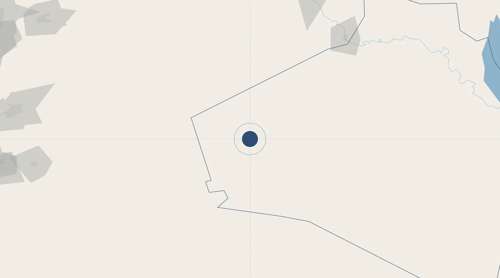
Location
Nearby Logistics Neighbours
Airports
- 1H3 Air Base21 km
- 2H3 Southwest Air Base37 km
- 3Ruwayshid Air Base87 km
- 4H2 Air Base97 km
- 5Turaif Domestic Airport174 km
Cities
- 1Arkhangelsk191 km
- 2Al Asad275 km
- 3Khan al Baghdadi286 km
- 4Homs324 km
- 5'Ablah331 km
Trade Zones
- 1Waad Al-Shamal Industial City150 km
- 2Arar Industrial City269 km
- 3Adra Free Zone286 km
- 4Damascus International Airport Free Zone290 km
- 5Damascus Free Zone313 km
DatabookThe Record of Consolidated Knowledge
Iraq beyond logistics?