Free Trade Zone · Syria

Al Yarubiyah Free Zone Active
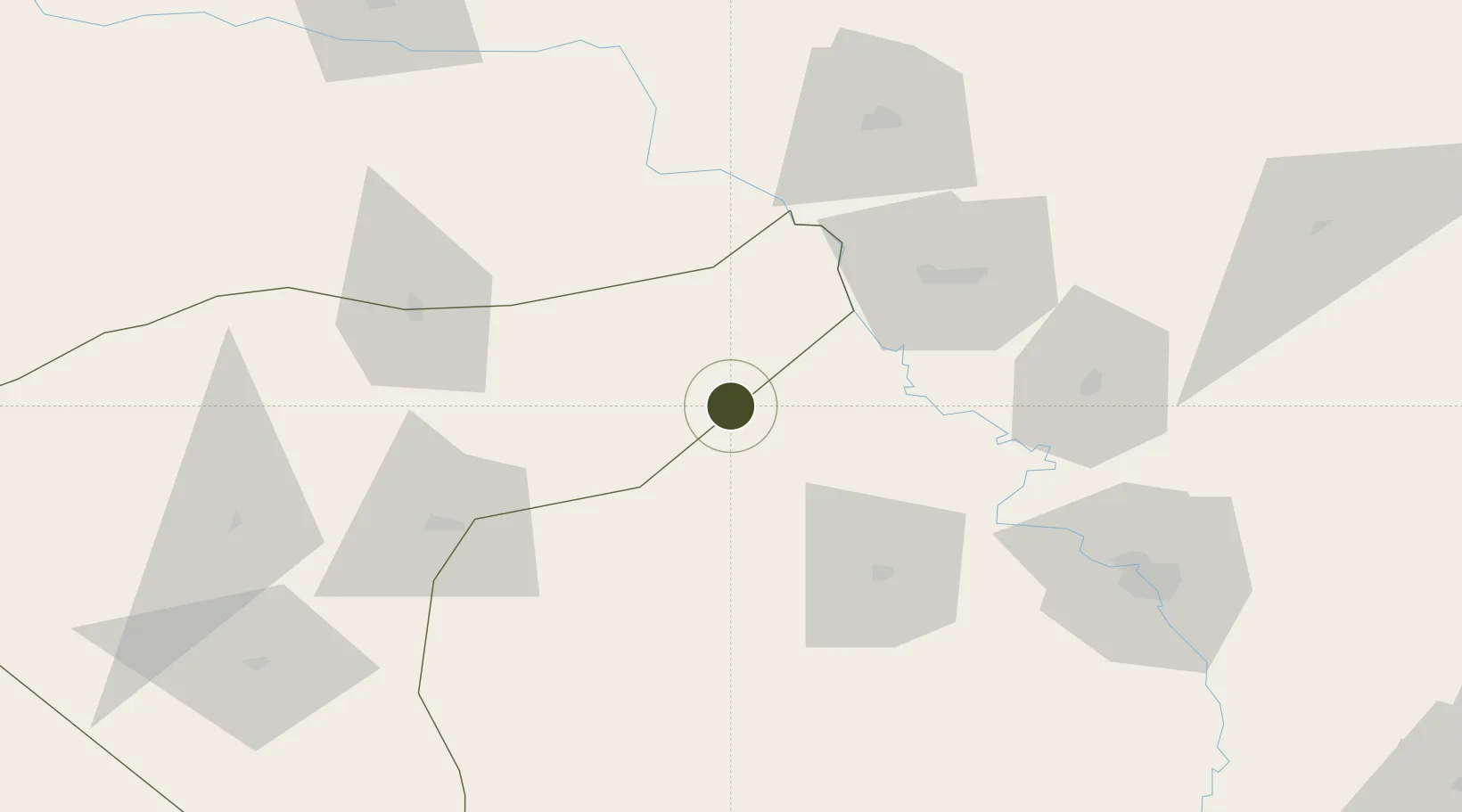
36.8122°, 42.0550°
188 ha
Zone area
491.4 km
Nearest port
61.4 km
Nearest airport

Gateway access

Nearest neighbours — logibook spatial index (haversine) over the source coordinates

Zone profile

Zone type
Free Trade Zone
Open Zone Map
Region
Hasaka (Al Haksa)
Open Zone Map
Status
Active
Open Zone Map
Management
Public
Open Zone Map
Operator
The General Establishment of Free Zones
Open Zone Map
Legal framework
Investment Law No. 10 (1991) and Its Amending Decrees No. 7 (2000) and Nos. 8 and 9 on January 27, 2007.
Open Zone Map

Location

Location of ozm-4376
Natural Earth 10m (public domain) · Hasaka (Al Haksa) · ozm-4376 · 36.81, 42.06GoogleOSMYandex

Nearby Logistics Neighbours

Ports
  1. 1Rize491 km
  2. 2Trabzon508 km
  3. 3Hopa515 km
  4. 4Yakacik523 km
  5. 5Iskenderun525 km
Nearest neighbours — logibook spatial index (haversine) over the source coordinates
Airports
  1. 1Şırnak Şerafettin Elçi Airport61 km
  2. 2Tall Afar Army Air Field67 km
  3. 3Qamishli International Airport80 km
  4. 4Sahl Sinjar Air Base106 km
  5. 5Mosul International Airport113 km
Nearest neighbours — logibook spatial index (haversine) over the source coordinates
Cities
  1. 1Zakho68 km
  2. 2Nusaybin80 km
  3. 3Mosul (Ak Mawsil)86 km
  4. 4Poliport130 km
  5. 5Kopru148 km
Nearest neighbours — logibook spatial index (haversine) over the source coordinates
Trade Zones
  1. 1Mardin Free Zone134 km
  2. 2Salmas Special Economic Zone282 km
  3. 3West Islamabad Special Economic Zone292 km
  4. 4Maku Mako Trade-Industrial Free Zone350 km
  5. 5Baneh Special Economic Zone356 km
Nearest neighbours — logibook spatial index (haversine) over the source coordinates
DatabookThe Record of Consolidated Knowledge
Syria beyond logistics?
Browse databook

All Sources

Trade ZonesOpen Zone Map
CC BY
Portsthe NGA World Port Index
Public domain (US gov)
AirportsOurAirports
Public domain
LocationsUN/LOCODE
UN/LOCODE — free
← Syria trade zones