UN/LOCODE hub · Iraq
IQOSM

Mosul (Ak Mawsil)

36.1667°, 42.5833°
2
Transport functions

Transport Functions

Port
Road
UN/LOCODE

Hub Profile

Region
NI
GeoNames

Location

Location of IQOSM
Natural Earth 10m (public domain) · NI · IQOSM · 36.17, 42.58GoogleOSMYandex

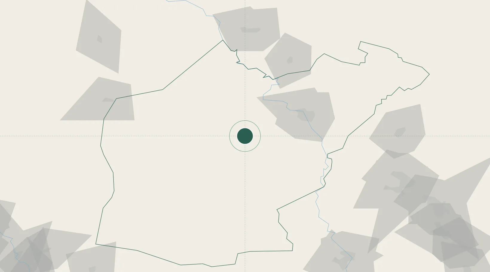
Nearby Logistics Neighbours

Cities
  1. 1Zakho108 km
  2. 2Irbil126 km
  3. 3Arbil127 km
  4. 4Nusaybin158 km
  5. 5Poliport208 km
Nearest neighbours — logibook spatial index (haversine) over the source coordinates
Ports
  1. 1Rize574 km
  2. 2Yakacik576 km
  3. 3Iskenderun576 km
  4. 4Trabzon592 km
  5. 5Hopa593 km
Nearest neighbours — logibook spatial index (haversine) over the source coordinates
Airports
  1. 1Tall Afar Army Air Field21 km
  2. 2Sahl Sinjar Air Base52 km
  3. 3Mosul International Airport53 km
  4. 4Qayyarah West Airport66 km
  5. 5Erbil International Airport123 km
Nearest neighbours — logibook spatial index (haversine) over the source coordinates
Trade Zones
  1. 1Al Yarubiyah Free Zone86 km
  2. 2Mardin Free Zone211 km
  3. 3West Islamabad Special Economic Zone270 km
  4. 4Salmas Special Economic Zone296 km
  5. 5Baneh Special Economic Zone299 km
Nearest neighbours — logibook spatial index (haversine) over the source coordinates
DatabookThe Record of Consolidated Knowledge
Iraq beyond logistics?
Browse databook

All Sources

LocationsUN/LOCODE
UN/LOCODE — free
Portsthe NGA World Port Index
Public domain (US gov)
AirportsOurAirports
Public domain
Trade Zonesthe World Bank SEZ database
CC BY 4.0
Trade ZonesOpen Zone Map
CC BY
← Iraq locations