Runway & Layout

Airport Specifications
Airport class
Medium airport
Scheduled service
No
Served city
Anah
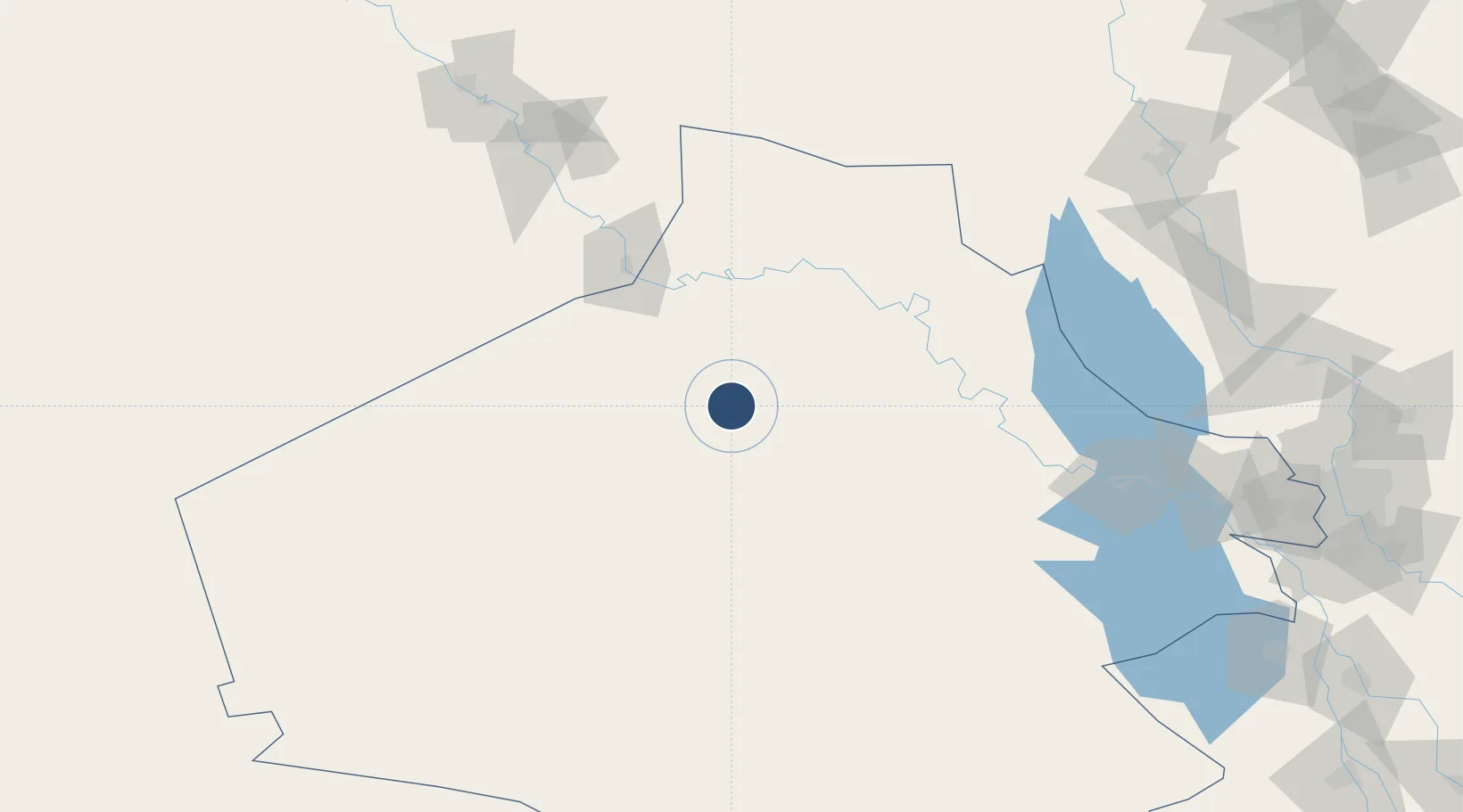
Location
Nearby Logistics Neighbours
Airports
- 1Al Asad Air Base93 km
- 2H2 Air Base93 km
- 3H3 Air Base186 km
- 4H3 Northwest AFB189 km
- 5Deir ez-Zor Airport200 km
Cities
- 1Al Asad92 km
- 2Khan al Baghdadi103 km
- 3Arkhangelsk122 km
- 4Al Taqaddum206 km
- 5Samarra'228 km
Trade Zones
- 1Arar Industrial City312 km
- 2Waad Al-Shamal Industial City316 km
- 3Al Yarubiyah Free Zone338 km
- 4Qasr-e-Shirin Special Economic Zone389 km
- 5Mardin Free Zone391 km
DatabookThe Record of Consolidated Knowledge
Iraq beyond logistics?