Medium airport · Syria
Deir ez-Zor AirportOSDZ
35.2854°, 40.1760°
9,843 ft
Longest runway
2
Runways
700 ft
Elevation
Runway & Layout

Radio Frequencies
TWR
118.1 MHz
Navaids
DRZ VOR-DME Deir Zzor 117.00 MHz
DRZ NDB Deir Zzor 295 kHz
Runways · 2
| Runway | Dimensions | Surface | True heading | Lit |
|---|---|---|---|---|
| 10L/28R | 9,843 × 148ft | Asphalt | 110° | — |
| 10/28 | — | Unknown | — | — |
Airport Specifications
IATA code
DEZ
ICAO code
OSDZ
Airport class
Medium airport
Scheduled service
No
Runway surface
Asphalt
Served city
Deir ez-Zor
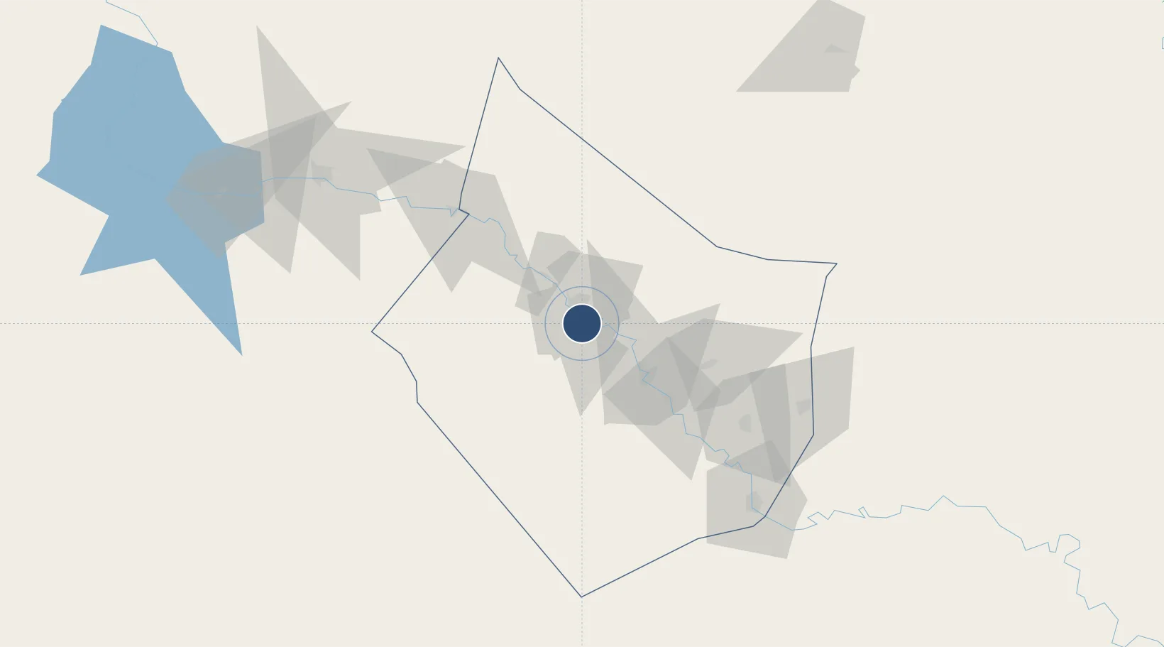
Location
Nearby Logistics Neighbours
Airports
- 1Palmyra Airport188 km
- 2Sahl Sinjar Air Base189 km
- 3H1 New Air Base200 km
- 4Qamishli International Airport213 km
- 5H2 Air Base217 km
Cities
- 1Arkhangelsk81 km
- 2Kabatas205 km
- 3Nusaybin219 km
- 4Mosul (Ak Mawsil)238 km
- 5Al Asad266 km
Ports
- 1Baniyas385 km
- 2Iskenderun389 km
- 3Yakacik393 km
- 4Tartus394 km
- 5Al Ladhiqiyah401 km
Trade Zones
- 1Mardin Free Zone226 km
- 2Al Yarubiyah Free Zone240 km
- 3Aleppo Free Zone288 km
- 4Gaziantep Free Zone323 km
- 5Adra Free Zone379 km
DatabookThe Record of Consolidated Knowledge
Syria beyond logistics?