Transport Functions
Multimodal
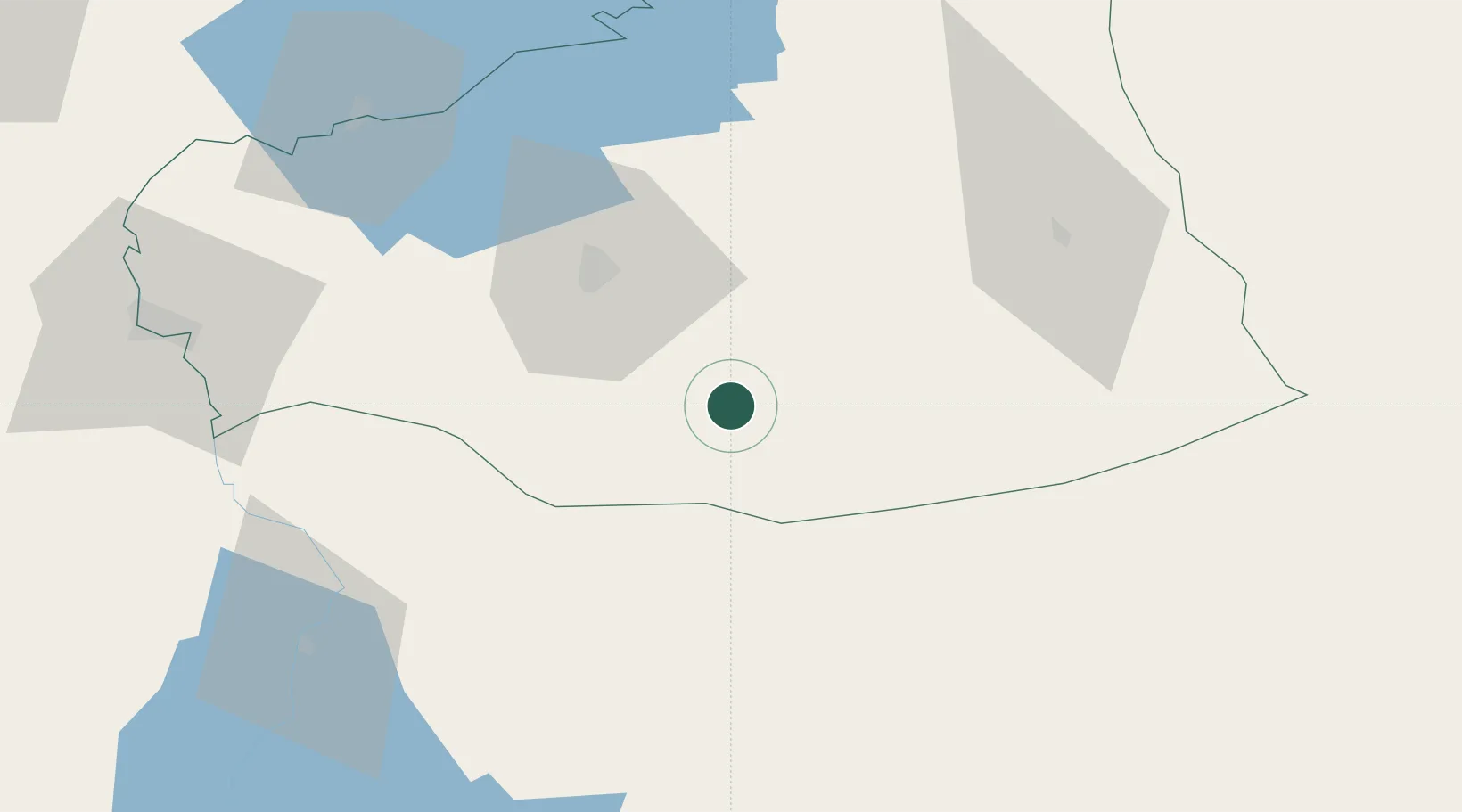
Hub Profile
Place type
Populated place
Region
Şanlıurfa
Time zone
Europe/Istanbul
Elevation
369 m
Location
Nearby Logistics Neighbours
Ports
- 1Yakacik259 km
- 2Iskenderun262 km
- 3Toros Gubre277 km
- 4Botas280 km
- 5Al Ladhiqiyah334 km
Airports
- 1Şanlıurfa GAP Airport63 km
- 2Adıyaman Airport107 km
- 3Mardin Airport142 km
- 4Gaziantep Oğuzeli International Airport143 km
- 5Diyarbakır Airport148 km
Trade Zones
- 1Mardin Free Zone147 km
- 2Gaziantep Free Zone155 km
- 3Aleppo Free Zone181 km
- 4Iskenderun Organized Industrial Zone257 km
- 5Al Yarubiyah Free Zone265 km
DatabookThe Record of Consolidated Knowledge
Türkiye beyond logistics?