Transport Functions
Port
Hub Profile
Place type
Populated place
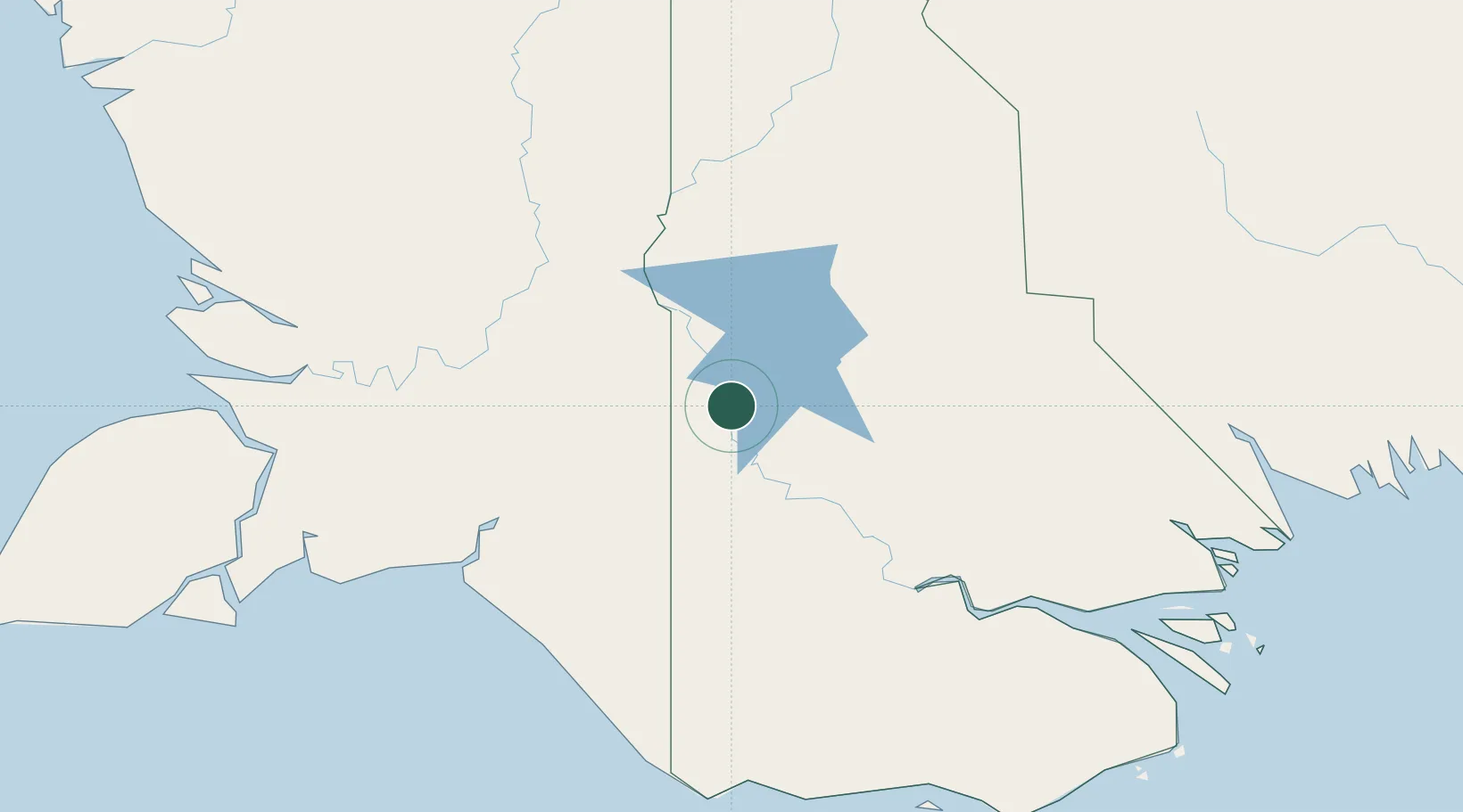
Region
Western Province
Time zone
Pacific/Port_Moresby
Elevation
12 m
Location
Nearby Logistics Neighbours
Cities
- 1Asike122 km
- 2Kassue230 km
- 3Boigu Island237 km
- 4Wanam240 km
- 5Saibai271 km
Ports
- 1Merauke159 km
- 2Daru286 km
- 3Kumul373 km
- 4Thursday Island374 km
- 5Wewak Harbor496 km
Airports
- 1Bosset Airport22 km
- 2Obo Airport28 km
- 3Lake Murray Airport45 km
- 4Kiunga Airport136 km
- 5Mopah International Airport160 km
Trade Zones
DatabookThe Record of Consolidated Knowledge
Papua New Guinea beyond logistics?