Small airport · Australia

Mabuiag Island AirportYMAA
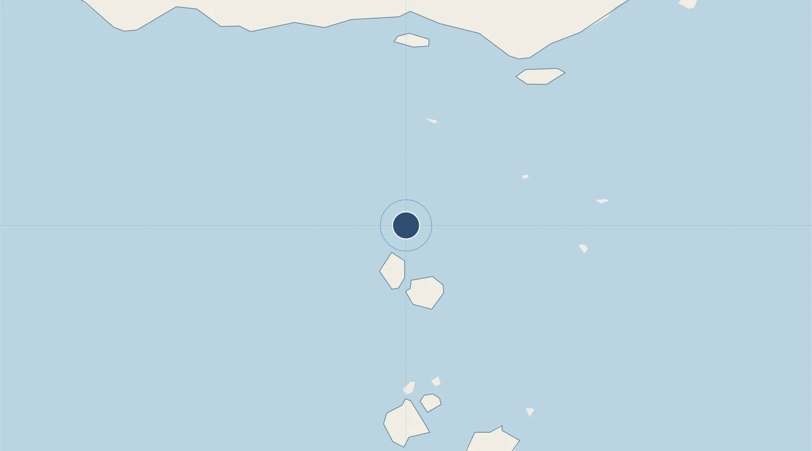
-9.9502°, 142.1952°
1,312 ft
Longest runway
1
Runways

Runway & Layout

Mabuiag Island Airport runway & taxiway layout
Runway & taxiway layout — OpenStreetMap (ODbL) / OurAirports

Radio Frequencies

CTAF
120.327 MHz
MISC
121.6 MHz
OurAirports

Runways · 1

RunwayDimensions SurfaceTrue headingLit
15/33 1,312 × —ft N
OurAirports

Airport Specifications

IATA code
UBB
OurAirports
ICAO code
YMAA
OurAirports
Airport class
Small airport
OurAirports
Scheduled service
Yes
OurAirports
Runway surface
N
OurAirports
Served city
Mabuiag Island
OurAirports

Location

Location of YMAA
Natural Earth 10m (public domain) · Queensland · YMAA · -9.95, 142.20GoogleOSMYandex

Nearby Logistics Neighbours

Airports
  1. 1Badu Island Airport22 km
  2. 2Kubin Island Airport31 km
  3. 3Yam Island Airport64 km
  4. 4Horn Island Airport72 km
  5. 5Warraber Island Airport75 km
Nearest neighbours — logibook spatial index (haversine) over the source coordinates
Cities
  1. 1Boigu Island76 km
  2. 2Saibai78 km
  3. 3Booby Island78 km
  4. 4Dalrymple Islet127 km
  5. 5Skardon River201 km
Nearest neighbours — logibook spatial index (haversine) over the source coordinates
Ports
  1. 1Thursday Island70 km
  2. 2Daru148 km
  3. 3Merauke257 km
  4. 4Weipa304 km
  5. 5Kumul332 km
Nearest neighbours — logibook spatial index (haversine) over the source coordinates
Trade Zones
  1. 1Western Province Special Economic Zone408 km
  2. 2Ihu Special Economic Zone419 km
  3. 3Morobe Agricultural Special Economic Zone541 km
  4. 4Paga Hill Estate Special Economic Zone545 km
  5. 5Nadzab (Momase) Special Economic Zone629 km
Nearest neighbours — logibook spatial index (haversine) over the source coordinates
DatabookThe Record of Consolidated Knowledge
Australia beyond logistics?
Browse databook

All Sources

AirportsOurAirports
Public domain
Portsthe NGA World Port Index
Public domain (US gov)
LocationsUN/LOCODE
UN/LOCODE — free
Trade Zonesthe World Bank SEZ database
CC BY 4.0
Trade ZonesOpen Zone Map
CC BY
InfrastructureOpenStreetMap
ODbL 1.0
← Australia airports