Small airport · Australia

Boigu Island AirportYBOI
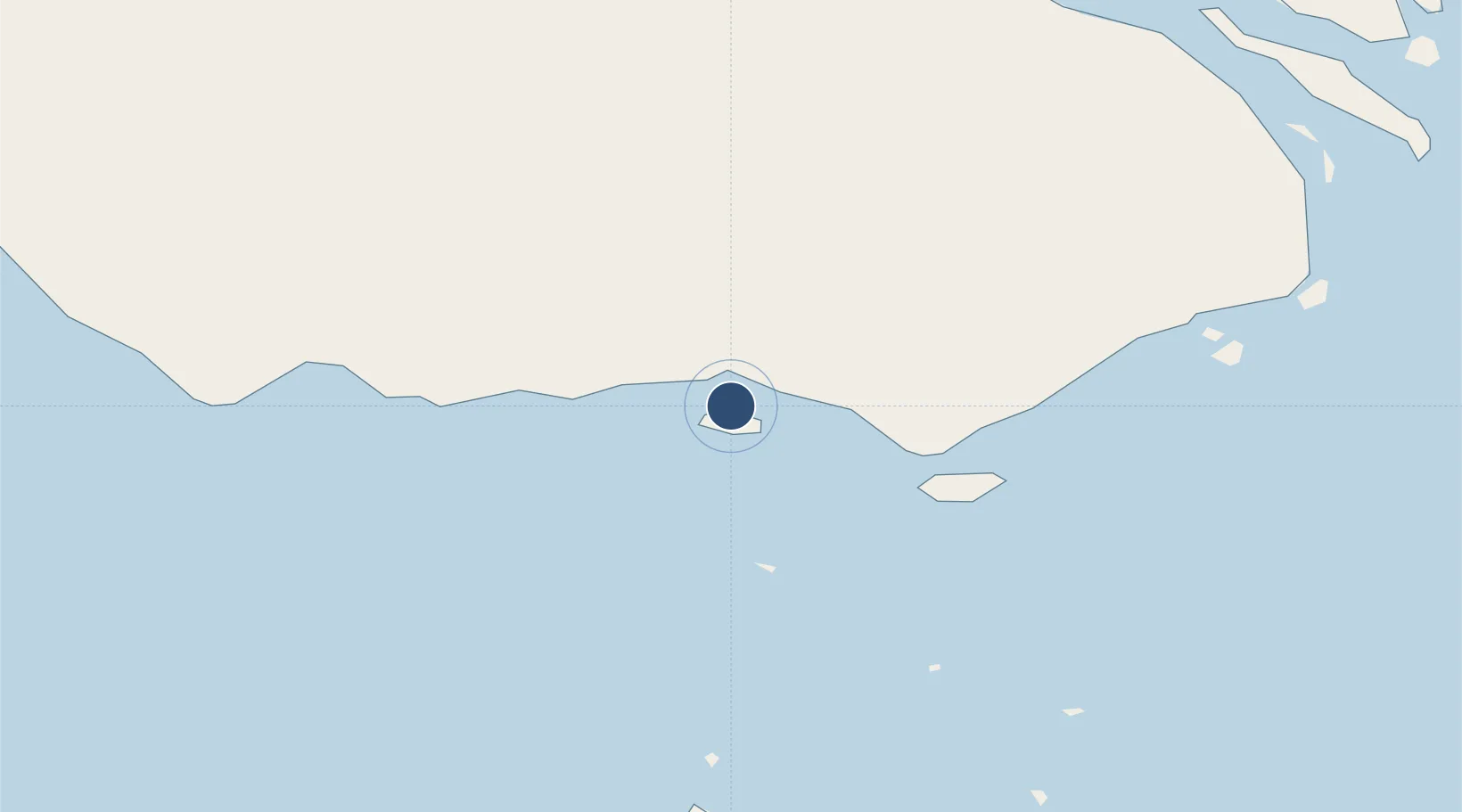
-9.2328°, 142.2180°
2,165 ft
Longest runway
1
Runways
23 ft
Elevation

Runway & Layout

Boigu Island Airport runway & taxiway layout
Runway & taxiway layout — OpenStreetMap (ODbL) / OurAirports

Radio Frequencies

CTAF
127.1 MHz
MISC
120.6 MHz
MISC
122.1 MHz
OurAirports

Runways · 1

RunwayDimensions SurfaceTrue headingLit
09/27 2,165 × —ft G
OurAirports

Airport Specifications

IATA code
GIC
OurAirports
ICAO code
YBOI
OurAirports
Airport class
Small airport
OurAirports
Scheduled service
Yes
OurAirports
Runway surface
G
OurAirports
Served city
Boigu Island
OurAirports

Location

Location of YBOI
Natural Earth 10m (public domain) · Western · YBOI · -9.23, 142.22GoogleOSMYandex

Nearby Logistics Neighbours

Airports
  1. 1Saibai Island Airport48 km
  2. 2Mabuiag Island Airport80 km
  3. 3Yam Island Airport96 km
  4. 4Badu Island Airport102 km
  5. 5Daru Airport110 km
Nearest neighbours — logibook spatial index (haversine) over the source coordinates
Cities
  1. 1Boigu Island4 km
  2. 2Saibai47 km
  3. 3Dalrymple Islet126 km
  4. 4Booby Island156 km
  5. 5Aiambak234 km
Nearest neighbours — logibook spatial index (haversine) over the source coordinates
Ports
  1. 1Daru109 km
  2. 2Thursday Island150 km
  3. 3Merauke218 km
  4. 4Kumul287 km
  5. 5Weipa384 km
Nearest neighbours — logibook spatial index (haversine) over the source coordinates
Trade Zones
  1. 1Western Province Special Economic Zone347 km
  2. 2Ihu Special Economic Zone379 km
  3. 3Morobe Agricultural Special Economic Zone488 km
  4. 4Paga Hill Estate Special Economic Zone541 km
  5. 5Sepik Special Economic Zone576 km
Nearest neighbours — logibook spatial index (haversine) over the source coordinates
DatabookThe Record of Consolidated Knowledge
Australia beyond logistics?
Browse databook

All Sources

AirportsOurAirports
Public domain
Portsthe NGA World Port Index
Public domain (US gov)
LocationsUN/LOCODE
UN/LOCODE — free
Trade Zonesthe World Bank SEZ database
CC BY 4.0
Trade ZonesOpen Zone Map
CC BY
InfrastructureOpenStreetMap
ODbL 1.0
← Australia airports