Runway & Layout

Airport Specifications
IATA code
GMI
ICAO code
AYGT
Airport class
Small airport
Scheduled service
Yes
Served city
Gasmata Island
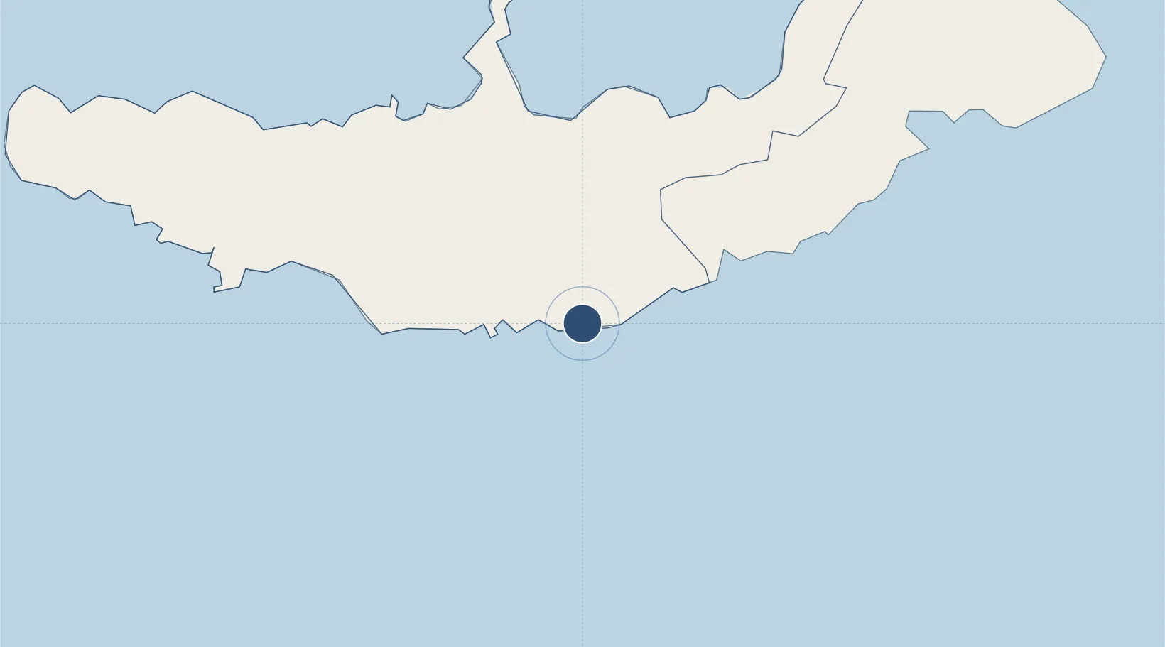
Location
Nearby Logistics Neighbours
Airports
- 1Hoskins Airport90 km
- 2Losuia Airport262 km
- 3Tokua Airport312 km
- 4Tufi Airport331 km
- 5Girua Airport359 km
Cities
- 1Amio49 km
- 2Kimbe83 km
- 3Ulamona174 km
- 4Pondo Harbour237 km
- 5Kaibola253 km
DatabookThe Record of Consolidated Knowledge
Papua New Guinea beyond logistics?