Medium airport · Papua New Guinea
Mendi AirportAYMN
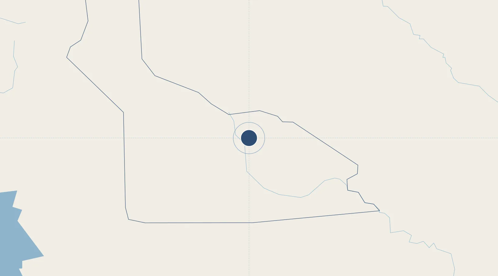
-6.1477°, 143.6570°
4,411 ft
Longest runway
1
Runways
5,680 ft
Elevation
Runway & Layout

Runways · 1
| Runway | Dimensions | Surface | True heading | Lit |
|---|---|---|---|---|
| 17/35 | 4,411 × 98ft | Asphalt | 173° | — |
Airport Specifications
IATA code
MDU
ICAO code
AYMN
Airport class
Medium airport
Scheduled service
Yes
Runway surface
Asphalt
Served city
Mendi
Location
Nearby Logistics Neighbours
Airports
- 1Moro Airport52 km
- 2Wapenamanda Airport63 km
- 3Mount Hagen Kagamuga Airport79 km
- 4Tari Airport85 km
- 5Chimbu Airport146 km
Ports
- 1Kumul239 km
- 2Madang260 km
- 3Wewak Harbor287 km
- 4Daru329 km
- 5Lae375 km
Trade Zones
DatabookThe Record of Consolidated Knowledge
Papua New Guinea beyond logistics?