Small airport · Papua New Guinea

Sasereme AirportAYSS
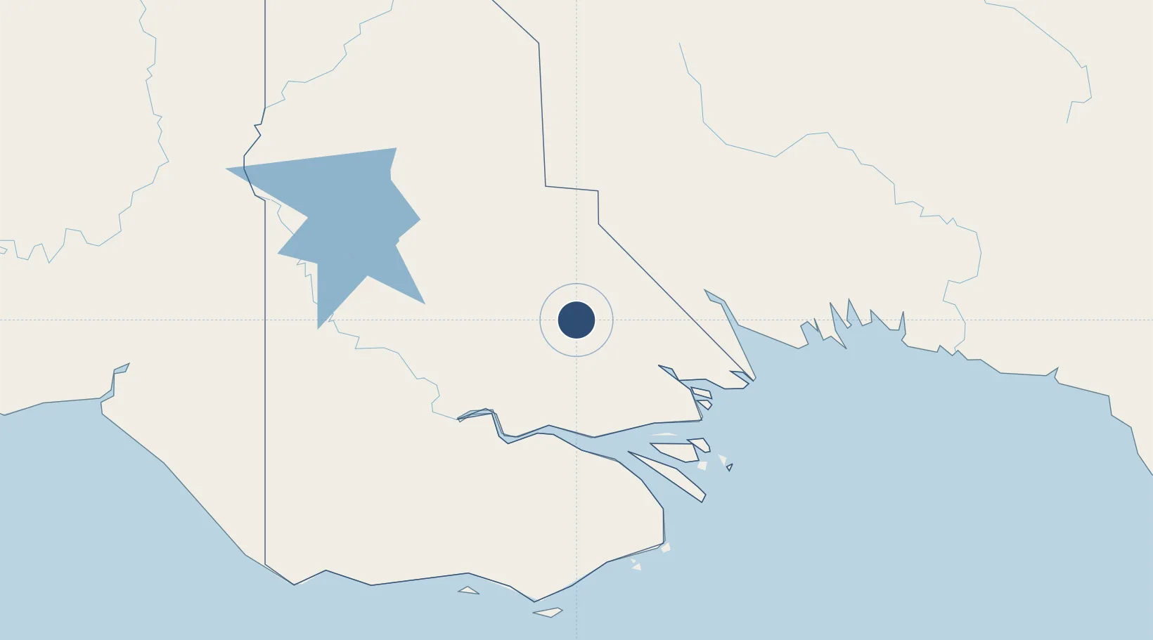
-7.6217°, 142.8680°
2,953 ft
Longest runway
1
Runways
121 ft
Elevation

Runway & Layout

Sasereme Airport runway & taxiway layout
Runway & taxiway layout — OpenStreetMap (ODbL) / OurAirports

Runways · 1

RunwayDimensions SurfaceTrue headingLit
14/32 2,953 × 147ft Red gravel
OurAirports

Airport Specifications

IATA code
TDS
OurAirports
ICAO code
AYSS
OurAirports
Airport class
Small airport
OurAirports
Scheduled service
Yes
OurAirports
Runway surface
Red gravel
OurAirports
Served city
Sasereme
OurAirports

Location

Location of AYSS
Natural Earth 10m (public domain) · Western · AYSS · -7.62, 142.87GoogleOSMYandex

Nearby Logistics Neighbours

Airports
  1. 1Balimo Airport48 km
  2. 2Moro Airport146 km
  3. 3Kikori Airport154 km
  4. 4Lake Murray Airport166 km
  5. 5Daru Airport167 km
Nearest neighbours — logibook spatial index (haversine) over the source coordinates
Cities
  1. 1Kopi149 km
  2. 2Aiambak179 km
  3. 3Kumul195 km
  4. 4Boigu Island196 km
  5. 5Saibai198 km
Nearest neighbours — logibook spatial index (haversine) over the source coordinates
Ports
  1. 1Daru165 km
  2. 2Kumul195 km
  3. 3Merauke290 km
  4. 4Thursday Island337 km
  5. 5Madang422 km
Nearest neighbours — logibook spatial index (haversine) over the source coordinates
Trade Zones
  1. 1Ihu Special Economic Zone279 km
  2. 2Western Province Special Economic Zone315 km
  3. 3Morobe Agricultural Special Economic Zone342 km
  4. 4Sepik Special Economic Zone416 km
  5. 5Pacific Marine Industrial Zone418 km
Nearest neighbours — logibook spatial index (haversine) over the source coordinates
DatabookThe Record of Consolidated Knowledge
Papua New Guinea beyond logistics?
Browse databook

All Sources

AirportsOurAirports
Public domain
Portsthe NGA World Port Index
Public domain (US gov)
LocationsUN/LOCODE
UN/LOCODE — free
Trade Zonesthe World Bank SEZ database
CC BY 4.0
Trade ZonesOpen Zone Map
CC BY
InfrastructureOpenStreetMap
ODbL 1.0
← Papua New Guinea airports