Small airport · Australia

Badu Island AirportYBAU
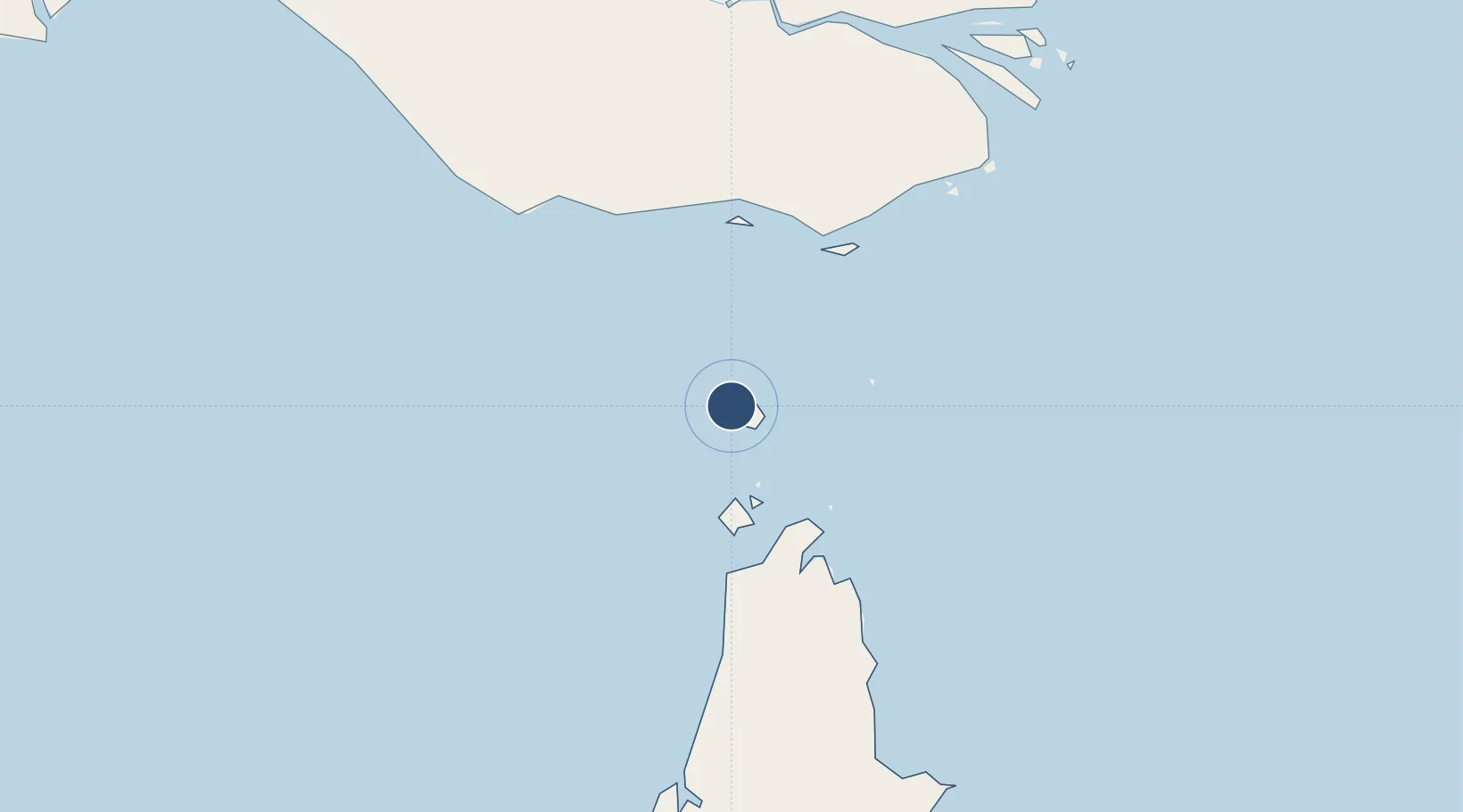
-10.1495°, 142.1737°
2,788 ft
Longest runway
1
Runways
14 ft
Elevation

Runway & Layout

Badu Island Airport runway & taxiway layout
Runway & taxiway layout — OpenStreetMap (ODbL) / OurAirports

Radio Frequencies

CTAF
120.3 MHz
MISC
116.1 MHz
MISC
119.6 MHz
MISC
126.8 MHz
OurAirports

Runways · 1

RunwayDimensions SurfaceTrue headingLit
12/30 2,788 × —ft N
OurAirports

Airport Specifications

IATA code
BDD
OurAirports
ICAO code
YBAU
OurAirports
Airport class
Small airport
OurAirports
Scheduled service
Yes
OurAirports
Runway surface
N
OurAirports
Served city
Badu Island
OurAirports

Location

Location of YBAU
Natural Earth 10m (public domain) · Queensland · YBAU · -10.15, 142.17GoogleOSMYandex

Nearby Logistics Neighbours

Airports
  1. 1Kubin Island Airport10 km
  2. 2Mabuiag Island Airport22 km
  3. 3Horn Island Airport50 km
  4. 4Yam Island Airport71 km
  5. 5Warraber Island Airport72 km
Nearest neighbours — logibook spatial index (haversine) over the source coordinates
Cities
  1. 1Booby Island57 km
  2. 2Saibai98 km
  3. 3Boigu Island98 km
  4. 4Dalrymple Islet138 km
  5. 5Skardon River179 km
Nearest neighbours — logibook spatial index (haversine) over the source coordinates
Ports
  1. 1Thursday Island49 km
  2. 2Daru165 km
  3. 3Merauke270 km
  4. 4Weipa282 km
  5. 5Kumul348 km
Nearest neighbours — logibook spatial index (haversine) over the source coordinates
Trade Zones
  1. 1Western Province Special Economic Zone426 km
  2. 2Ihu Special Economic Zone433 km
  3. 3Paga Hill Estate Special Economic Zone550 km
  4. 4Morobe Agricultural Special Economic Zone558 km
  5. 5Nadzab (Momase) Special Economic Zone644 km
Nearest neighbours — logibook spatial index (haversine) over the source coordinates
DatabookThe Record of Consolidated Knowledge
Australia beyond logistics?
Browse databook

All Sources

AirportsOurAirports
Public domain
Portsthe NGA World Port Index
Public domain (US gov)
LocationsUN/LOCODE
UN/LOCODE — free
Trade Zonesthe World Bank SEZ database
CC BY 4.0
Trade ZonesOpen Zone Map
CC BY
InfrastructureOpenStreetMap
ODbL 1.0
← Australia airports