Transport Functions
Port
Hub Profile
Region
QLD
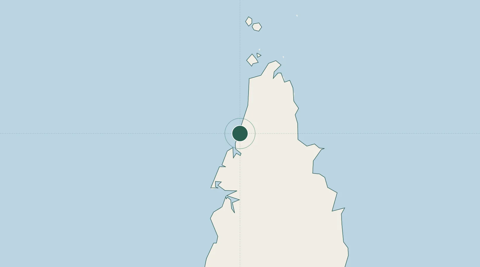
Location
Nearby Logistics Neighbours
Cities
- 1Evans Landing104 km
- 2Booby Island128 km
- 3Amrun137 km
- 4Saibai271 km
- 5Boigu Island277 km
Ports
- 1Weipa103 km
- 2Thursday Island132 km
- 3Daru325 km
- 4Merauke405 km
- 5Kumul493 km
Airports
- 1Northern Peninsula Airport101 km
- 2Weipa Airport104 km
- 3Horn Island Airport133 km
- 4Kubin Island Airport171 km
- 5Badu Island Airport179 km
Trade Zones
DatabookThe Record of Consolidated Knowledge
Australia beyond logistics?