UN/LOCODE hub · Lebanon
LBZUK

Zouk

33.9667°, 35.6333°
1
Transport functions

Transport Functions

Port
UN/LOCODE

Hub Profile

Region
JL
GeoNames

Location

Location of LBZUK
Natural Earth 10m (public domain) · JL · LBZUK · 33.97, 35.63GoogleOSMYandex

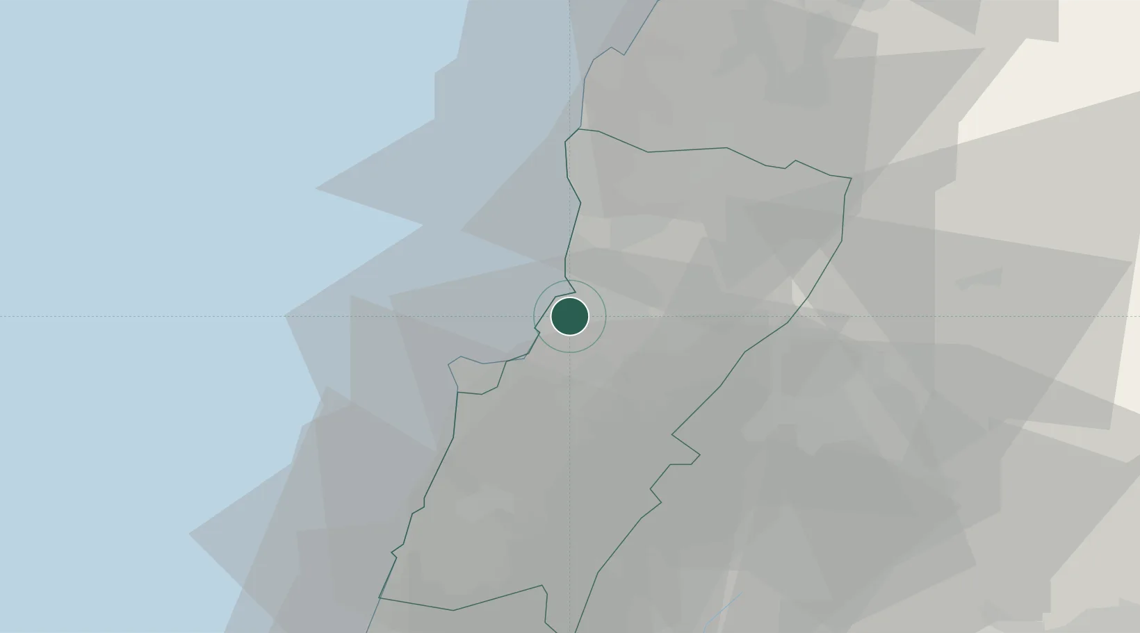
Nearby Logistics Neighbours

Cities
  1. 1Adonis4 km
  2. 2Antelias6 km
  3. 3Ashqout6 km
  4. 4Dora8 km
  5. 5Beirut13 km
Nearest neighbours — logibook spatial index (haversine) over the source coordinates
Ports
  1. 1Bayrut14 km
  2. 2Selaata35 km
  3. 3Sidon/zahrani Terminal56 km
  4. 4Tarabulus57 km
  5. 5Sayda58 km
Nearest neighbours — logibook spatial index (haversine) over the source coordinates
Airports
  1. 1Beirut Rafic Hariri International Airport21 km
  2. 2Rayak Air Base35 km
  3. 3Wujah Al Hajar Air Base35 km
  4. 4Rene Mouawad Air Base78 km
  5. 5Damascus International Airport102 km
Nearest neighbours — logibook spatial index (haversine) over the source coordinates
Trade Zones
  1. 1Port of Beirut Logistics Free Zone14 km
  2. 2Tripoli Special Economic Zone57 km
  3. 3Damascus Free Zone78 km
  4. 4Adra Free Zone97 km
  5. 5Damascus International Airport Free Zone102 km
Nearest neighbours — logibook spatial index (haversine) over the source coordinates
DatabookThe Record of Consolidated Knowledge
Lebanon beyond logistics?
Browse databook

All Sources

LocationsUN/LOCODE
UN/LOCODE — free
Portsthe NGA World Port Index
Public domain (US gov)
AirportsOurAirports
Public domain
Trade Zonesthe World Bank SEZ database
CC BY 4.0
Trade ZonesOpen Zone Map
CC BY
← Lebanon locations