Medium airport · Syria

An Nasiriyah Air BaseOS64
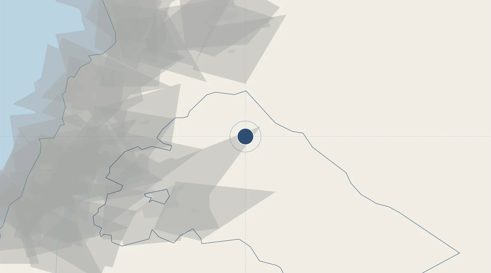
33.9190°, 36.8666°
9,842 ft
Longest runway
1
Runways
2,727 ft
Elevation

Runway & Layout

An Nasiriyah Air Base runway & taxiway layout
Runway & taxiway layout — OpenStreetMap (ODbL) / OurAirports

Runways · 1

RunwayDimensions SurfaceTrue headingLit
04/22 9,842 × 144ft Asphalt 044°
OurAirports

Airport Specifications

Airport class
Medium airport
OurAirports
Scheduled service
No
OurAirports
Runway surface
Asphalt
OurAirports

Location

Location of OS64
Natural Earth 10m (public domain) · Rif Dimashq · OS64 · 33.92, 36.87GoogleOSMYandex

Nearby Logistics Neighbours

Airports
  1. 1Damascus International Airport65 km
  2. 2Al Qusayr Air Base77 km
  3. 3Rayak Air Base82 km
  4. 4Khalkhalah Air Base98 km
  5. 5Rene Mouawad Air Base108 km
Nearest neighbours — logibook spatial index (haversine) over the source coordinates
Cities
  1. 1'Ablah61 km
  2. 2Bekaa68 km
  3. 3Homs92 km
  4. 4Ashqout108 km
  5. 5Zouk114 km
Nearest neighbours — logibook spatial index (haversine) over the source coordinates
Ports
  1. 1Tarabulus112 km
  2. 2Selaata119 km
  3. 3Bayrut126 km
  4. 4Tartus143 km
  5. 5Sayda148 km
Nearest neighbours — logibook spatial index (haversine) over the source coordinates
Trade Zones
  1. 1Adra Free Zone44 km
  2. 2Damascus International Airport Free Zone65 km
  3. 3Damascus Free Zone71 km
  4. 4Tripoli Special Economic Zone112 km
  5. 5Port of Beirut Logistics Free Zone125 km
Nearest neighbours — logibook spatial index (haversine) over the source coordinates
DatabookThe Record of Consolidated Knowledge
Syria beyond logistics?
Browse databook

All Sources

AirportsOurAirports
Public domain
Portsthe NGA World Port Index
Public domain (US gov)
LocationsUN/LOCODE
UN/LOCODE — free
Trade Zonesthe World Bank SEZ database
CC BY 4.0
Trade ZonesOpen Zone Map
CC BY
InfrastructureOpenStreetMap
ODbL 1.0
← Syria airports