Transport Functions
Multimodal
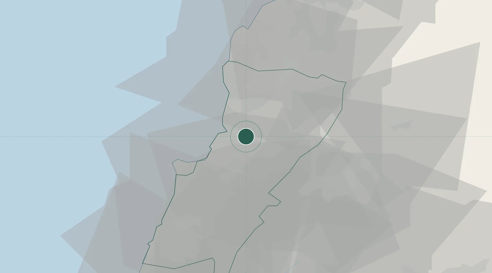
Location
Nearby Logistics Neighbours
Ports
- 1Bayrut21 km
- 2Selaata34 km
- 3Tarabulus53 km
- 4Sidon/zahrani Terminal61 km
- 5Sayda63 km
Airports
Trade Zones
DatabookThe Record of Consolidated Knowledge
Lebanon beyond logistics?