Transport Functions
Port
Road
Hub Profile
Region
Z
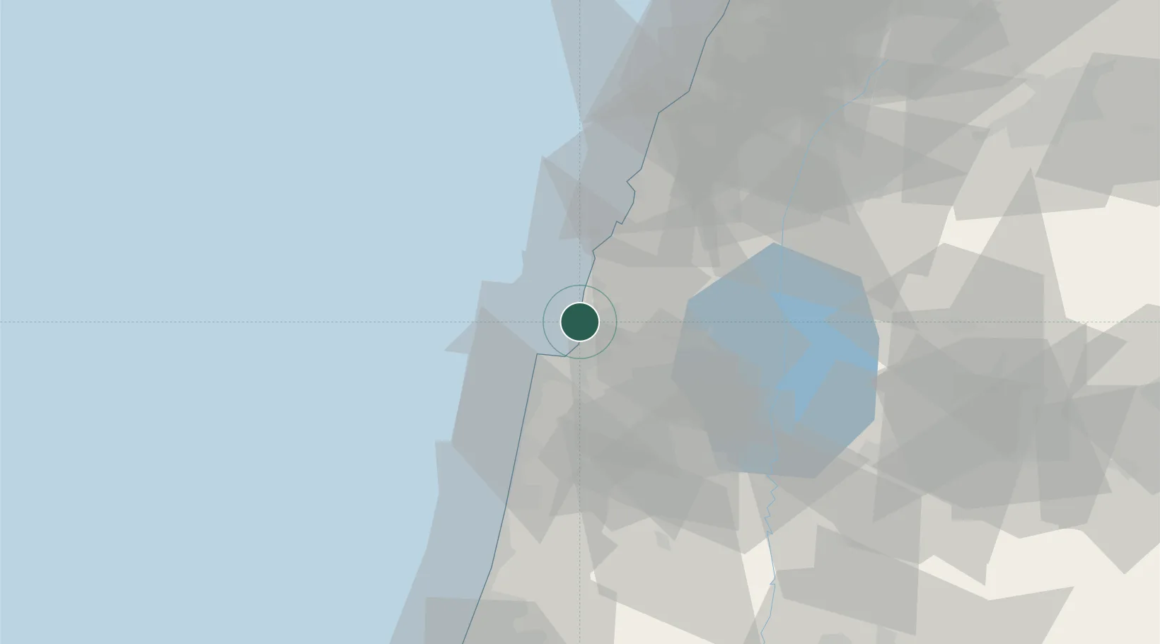
Location
Nearby Logistics Neighbours
Cities
- 1Haifa12 km
- 2Qiryat Ata Milenium Terminal13 km
- 3Haifa Bayport15 km
- 4Haifa Granaries15 km
- 5Haifa Meshakef15 km
Ports
- 1Haifa13 km
- 2Hadera52 km
- 3Sayda70 km
- 4Sidon/zahrani Terminal72 km
- 5Bayrut117 km
Airports
Trade Zones
DatabookThe Record of Consolidated Knowledge
Israel beyond logistics?