Diversified Zone · Jordan

Al-Hassan Industrial estate Active
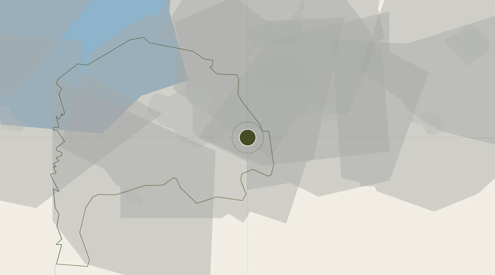
32.5009°, 36.0299°
120 ha
Zone area
102.6 km
Nearest port
58.8 km
Nearest airport

Gateway access

Nearest neighbours — logibook spatial index (haversine) over the source coordinates

Zone profile

Zone type
Diversified Zone
Open Zone Map
Region
Irbid
Open Zone Map
Status
Active
Open Zone Map
Management
Public
Open Zone Map
Operator
Jordan Industrial Estates Corporation
Open Zone Map
Legal framework
The Investment Law No. (30) of 2014.
Open Zone Map

Location

Location of ozm-2619
Natural Earth 10m (public domain) · Irbid · ozm-2619 · 32.50, 36.03GoogleOSMYandex

Nearby Logistics Neighbours

Ports
  1. 1Haifa103 km
  2. 2Hadera106 km
  3. 3Sayda128 km
  4. 4Sidon/zahrani Terminal133 km
  5. 5Ashdod151 km
Nearest neighbours — logibook spatial index (haversine) over the source coordinates
Airports
  1. 1Marka International (Amman Civil) Airport59 km
  2. 2Rosh Pina Airport68 km
  3. 3Khalkhalah Air Base81 km
  4. 4Ramat David Air Base82 km
  5. 5Queen Alia International Airport87 km
Nearest neighbours — logibook spatial index (haversine) over the source coordinates
Cities
  1. 1Beit Shean Jordan Cargo Terminal36 km
  2. 2Beit Shean Jordan Meshakef37 km
  3. 3Arava Terminal Zin44 km
  4. 4Newe Ur46 km
  5. 5Zarka Free Zone47 km
Nearest neighbours — logibook spatial index (haversine) over the source coordinates
Trade Zones
  1. 1Irbid Development Area5 km
  2. 2Daraa Free Zone18 km
  3. 3King Hussein bin Talal Development Zone24 km
  4. 4Al Mafraq Industrial Estate24 km
  5. 5Ajloun Ajlun Development Zone31 km
Nearest neighbours — logibook spatial index (haversine) over the source coordinates
DatabookThe Record of Consolidated Knowledge
Jordan beyond logistics?
Browse databook

All Sources

Trade ZonesOpen Zone Map
CC BY
Portsthe NGA World Port Index
Public domain (US gov)
AirportsOurAirports
Public domain
LocationsUN/LOCODE
UN/LOCODE — free
← Jordan trade zones