Transport Functions
Rail
Road
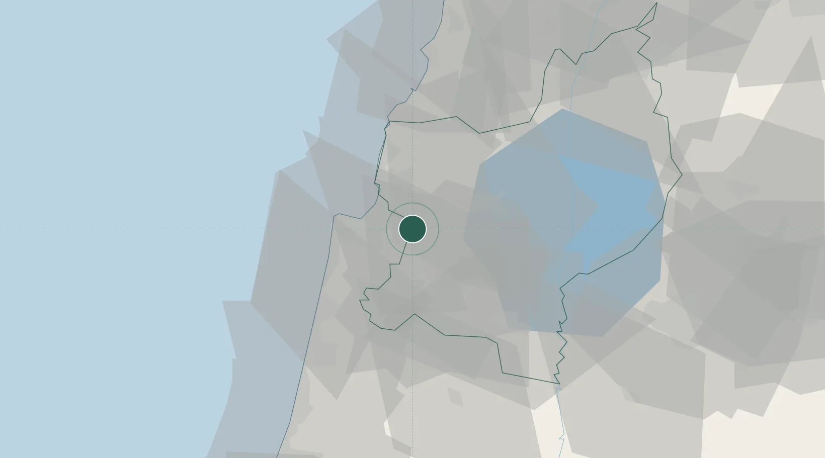
Hub Profile
Place type
Populated place
Region
Northern District
Population
42,137
Time zone
Asia/Jerusalem
Elevation
137 m
Location
Nearby Logistics Neighbours
Cities
- 1Qiryat Ata Milenium Terminal6 km
- 2Haifa13 km
- 3Akko16 km
- 4Nazareth17 km
- 5Haifa Bayport17 km
Ports
- 1Haifa16 km
- 2Hadera45 km
- 3Sayda80 km
- 4Sidon/zahrani Terminal83 km
- 5Ashdod120 km
Airports
Trade Zones
DatabookThe Record of Consolidated Knowledge
Israel beyond logistics?